Observation Date
2/8/2017
Observer Name
Hardesty, Keeling, Passey
Region
Salt Lake » Emigration Canyon » Lookout Peak
Location Name or Route
Pinecrest to Lookout Peak
Comments
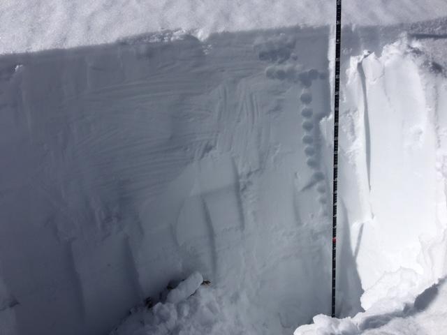
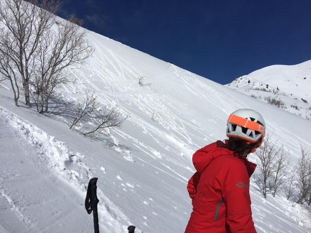
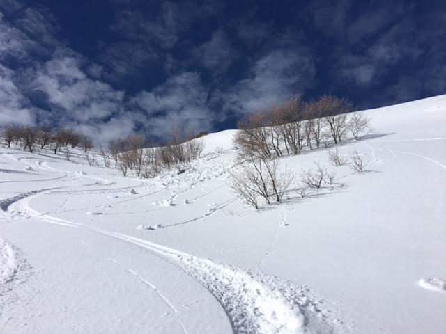
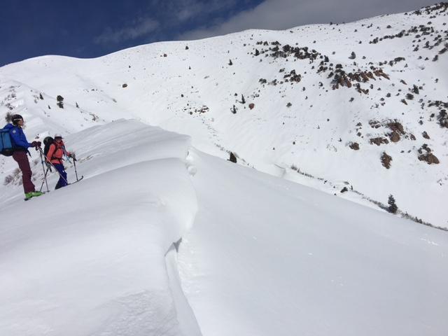
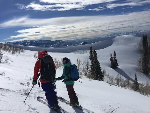
Photos:
Representative structure
Rollerballs/2" wet slab pushalanche
"Debris pile"
Dripping cornices require a wide berth
Natural cornice failure near Lookout Peak.
Today's Observed Danger Rating
Moderate
Tomorrows Estimated Danger Rating
Moderate