Observation: Dougs Drop

Observation Date
2/4/2017
Observer Name
M
Region
Salt Lake » Big Cottonwood Canyon » Silver Fork » Dougs Drop
Location Name or Route
Dougs Drop
Weather
Sky
Broken
Wind Direction
West
Wind Speed
Light
Weather Comments
The quick moving clouds and tease between stormy and bluebird kept us entertained all day. Mere minutes of gusting winds joined the weather cocktail along with graupel and warming temps in the 20s. The winds died down around 3 pm. I'd say the forecast was pretty spot on for the day. We even found multiple melt freeze crusts buried along with some faceted snow layers near the surface (17cm from the surface).
Snow Characteristics
Snow Surface Conditions
Powder
Dense Loose
Wind Crust
Damp
Snow Characteristics Comments
The best snow right now is sheltered NE at high elevations. Out of the 5 runs I skied today I crossed other tracks more than I did crust layers on the snow surface. The good snow is still out there as are people. Always look up if you need to traverse under a slope. Don't stop under steep slopes because someone may be waiting to drop or ski cut above.
Red Flags
Red Flags
Recent Avalanches
Wind Loading
Rapid Warming
Red Flags Comments
Wet loose trundling and small roller balls Greenhouse effect for part of the morning
Avalanche Problem #1
Problem
Wind Drifted Snow
Trend
Increasing Danger
Problem #1 Comments
We ski cut a couple wind slabs with no results. But the wind affected and loaded terrain does exist on several aspects as the winds continue to shift.
Avalanche Problem #2
Problem
Persistent Weak Layer
Trend
Decreasing Danger
Problem #2 Comments
17 cm down on 2 CTs and 2 ECTs we got a faceted weak layer to collapse and propagate. Both CTs were Q2 as well as one of the ECTs all at 12 taps. One ECT was a Q3 at 13 taps also 17 cm down. This was at the top of Dougs Drop WNW in Silverfork just under 10,000 ft. We preceeded to ski cut the convexity in the slope with no results and then 4 of us skied the slope triggering no avalanches.
Snow Profile
Aspect
Northwest
Elevation
9,900'
Slope Angle
18°
Comments
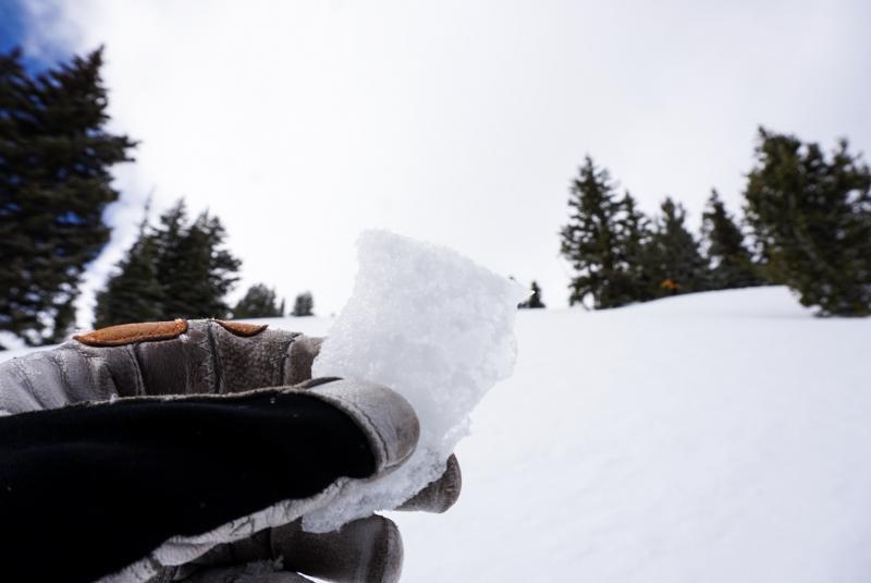
Two of the melt freeze crusts are pictured below from two different slopes same aspect NE. 
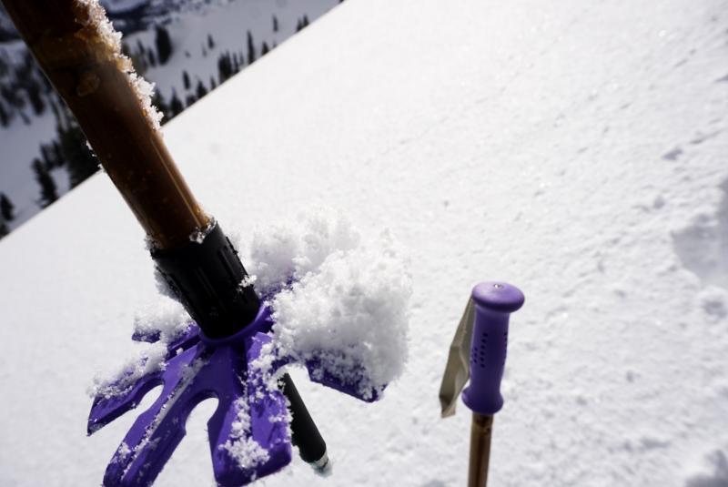
In areas that the wind hadn't already moved snow a beautiful mixture of graupel, dendrites and newly formed surface hoar blanked the surface (see picture with pole). 
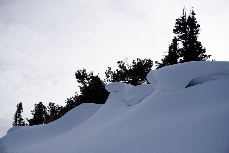
Cornices are still huge with this warming keep a safe distance. 
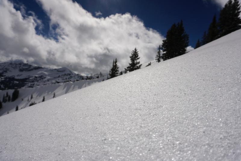
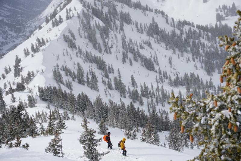
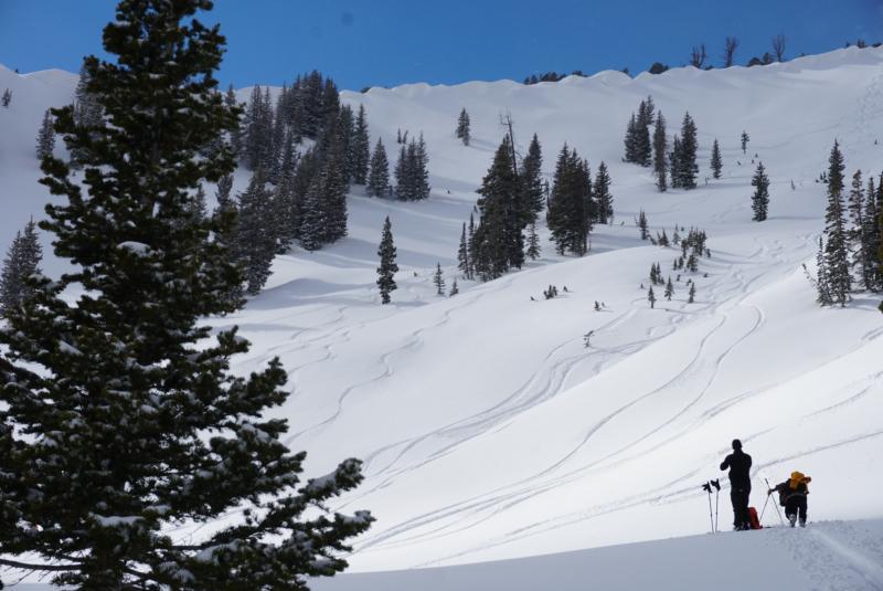
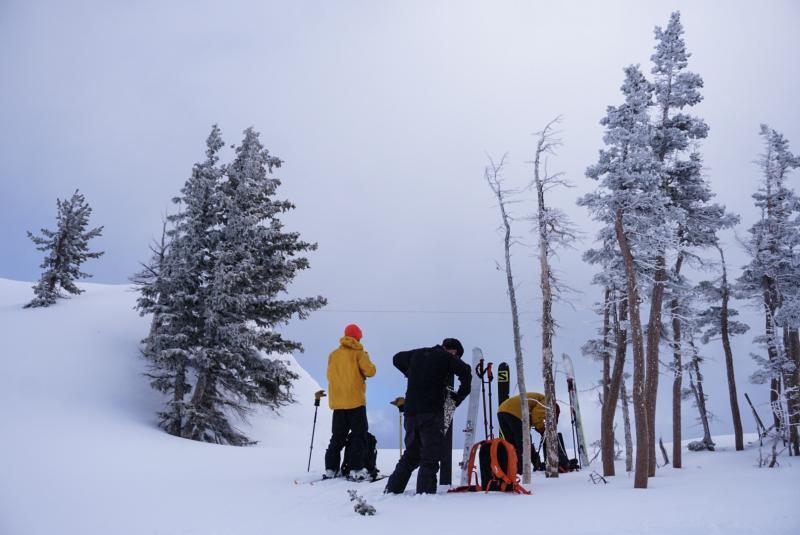
The weather was all sorts of funky today. Other than being quite picturesque, the quick clouds and variable temps and winds were a great way to stay in touch with the present. Each of the ski shots taken were one hour a part (truly demonstrates the filtered light and changing skies)
Video
Today's Observed Danger Rating
Moderate
Tomorrows Estimated Danger Rating
Moderate