Observation: Upper Weber Canyon

Observation Date
2/3/2017
Observer Name
C Brown
Region
Uintas » Upper Weber Canyon
Location Name or Route
Upper Weber Canyon
Weather
Sky
Broken
Wind Direction
South
Wind Speed
Moderate
Weather Comments
Very windy on the ridge lines. Moderate winds from the south throughout the day with moderate snow transport loading the north's. Broken skies became overcast in the afternoon. Temps down low were surprisingly warm.
Snow Characteristics
New Snow Depth
3"
Snow Surface Conditions
Powder
Wind Crust
Melt-Freeze Crust
Damp
Snow Characteristics Comments

Saw a little of everything out there today. A few inches of snow from yesterday was all blown around and lying in a select few places. Elsewhere had everything from supportable windslab to wind crust, to MF crust. Snow down low at ~7,500' was pretty warm and damp.

Red Flags
Red Flags
Recent Avalanches
Wind Loading
Cracking
Red Flags Comments
Saw one natural windslab that had gone this morning on a NNE aspect around 10,300'. We were able to ski cut out one wind slab that was about 100' with a depth of 6"~16". Lots of snow being transported along the ridgelines.
Avalanche Problem #1
Problem
Wind Drifted Snow
Trend
Increasing Danger
Problem #1 Comments

Observed two windslab avalanches today, one natural and one skier triggered. Got a report of one other windslab releasing skier triggered. Not widespread, but I would expect these to become deeper and stiffer with continued winds and the forecasted new snow tonight and saturday.

Snow Profile
Aspect
Northeast
Elevation
10,100'
Slope Angle
35°
Comments

HS at the snow profile location was 235cm

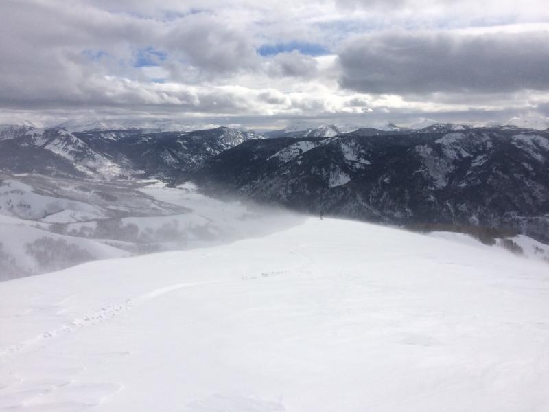
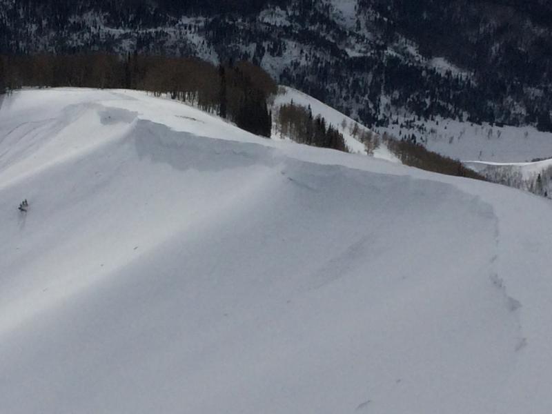
Picture of the wind transport and the natural wind slab.

Today's Observed Danger Rating
Low
Tomorrows Estimated Danger Rating
Moderate