Observation: Whitney Basin

Observation Date
1/27/2017
Observer Name
Ted Scroggin
Region
Uintas » Bear River Ranger District » Whitney Basin
Location Name or Route
Whitney Basin
Weather
Sky
Clear
Wind Direction
Northeast
Wind Speed
Light
Weather Comments
Cold crisp morning with below zero temperatures and a bit chilly riding until mid morning. Nice and calm in the bottom of the drainages, but a slight northeast wind on the ridge lines kept things cool. Very high elevation terrain had steady northeast winds blowing light density snow throughout the day.
Snow Characteristics
Snow Surface Conditions
Powder
Faceted Loose
Snow Characteristics Comments
The storm snow has settled out nicely allowing for awesome riding and turning in cold light density snow.
Red Flags
Red Flags
Wind Loading
Red Flags Comments
The wind loading I observed was mainly on high elevation terrain and from a northeast direction. This was easily spotted from the highway while driving to the trailhead.
Avalanche Problem #1
Problem
Persistent Weak Layer
Trend
Same
Problem #1 Comments
Dug a handful of shallow pits looking for any buried surface hoar and near surface faceted snow. I was able to find some surface hoar that was lying down in a couple of snow pits, but this layer was not very reactive with stability tests. I may have been a little too high in elevation to find good preserved surface hoar. Looking at Craig Gordon's report from Wolf Creek Pass, it is out there in the right location and may have surprised some folks.
Avalanche Problem #2
Problem
Wind Drifted Snow
Trend
Decreasing Danger
Problem #2 Comments
The wind slabs today were of the soft variety, some a foot or more deep, but did not seem to pose much issue when stomped on. These would sluff and entrain mostly the loose surface snow.
Comments
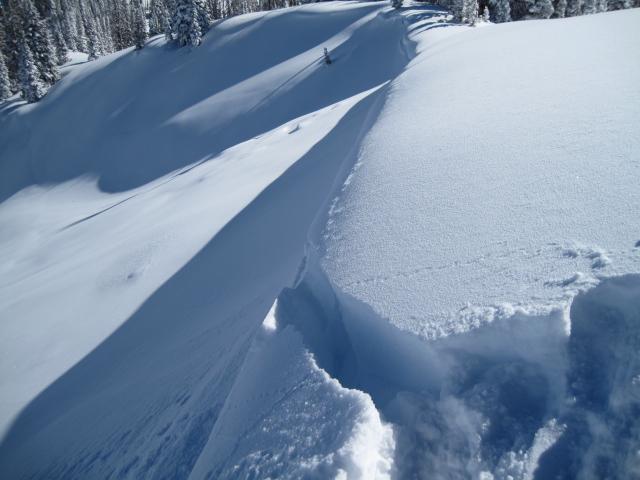
1. The northeast winds were clearly visible from a distance and not a typical wind direction. 2. No recent avalanche activity other than this very small shallow wind slab off the Double Hill Ridgeline that ran a short distance.
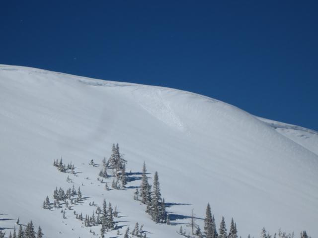
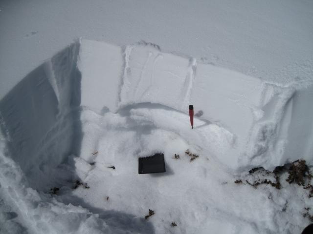
The fresh wind slabs were soft and not very sensitive and would only break and create some manageable sluffs. This was on a northeast aspect. The second photo is on a high southeast facing slope. The strong south and southwest winds througout the past storm has stripped away much of the snow and created a shallow and very weak snowpack structure. The new snow that was getting it's first look at strong sunshine was starting to form a slab. This slab is on top of some very weak snow at the ground. Classic, "strong snow on weak snow". Could be an issue as riders might look for some sunny slopes to ride
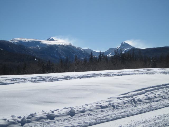
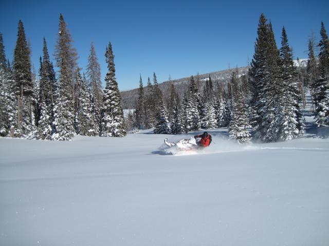
My field partner showing how it is done. Some pretty amazing conditions out there and have not seen the Uintas so white in quite some time.
Today's Observed Danger Rating
Moderate
Tomorrows Estimated Danger Rating
Moderate