Observation Date
1/25/2017
Observer Name
Zimmerman Wall
Region
Salt Lake
Location Name or Route
Mary Ellen Gulch
Comments
Photos:
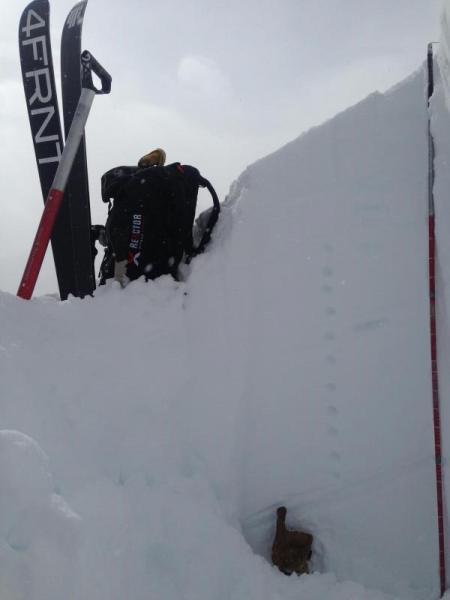
1. Pit wall
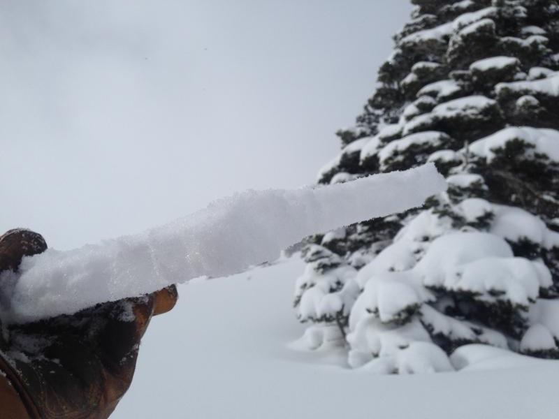
2. Sun crust
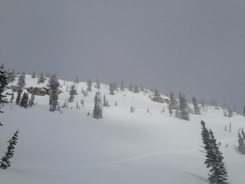
3. Visibility at its greatest
Today's Observed Danger Rating
Moderate
Tomorrows Estimated Danger Rating
Moderate
Coordinates