Observation: Park City Ridgeline

Observation Date
1/24/2017
Observer Name
Dan Hadley
Region
Salt Lake » Park City Ridgeline
Location Name or Route
Park City Ridgeline
Weather
Sky
Overcast
Precipitation
Light Snowfall
Wind Direction
Northeast
Wind Speed
Moderate
Weather Comments
Increased wind speed and wind affected terrain occurred at and above about 9,500'
Snow Characteristics
New Snow Depth
6"
New Snow Density
Low
Snow Surface Conditions
Powder
Snow Characteristics Comments
There was about 6" over skin tracks from yesterday
Red Flags
Red Flags
Heavy Snowfall
Wind Loading
Cracking
Poor Snowpack Structure
Red Flags Comments
At and above 9,500' snow surface had pockets of wind slabs, with frequent cracking on slopes greater than 30 degrees
Avalanche Problem #1
Problem
New Snow
Trend
Increasing Danger
Problem #1 Comments
A week layer 26" below the surface (on top of a icy crust) fractured while preparing shovel shear (STC Q1) and compression tests (CTV).
Avalanche Problem #2
Problem
Wind Drifted Snow
Trend
Increasing Danger
Problem #2 Comments
Cracking was seen in multiple locations, but only in wind blown terrain
Snow Profile
Aspect
Northeast
Elevation
9,600'
Slope Angle
30°
Comments
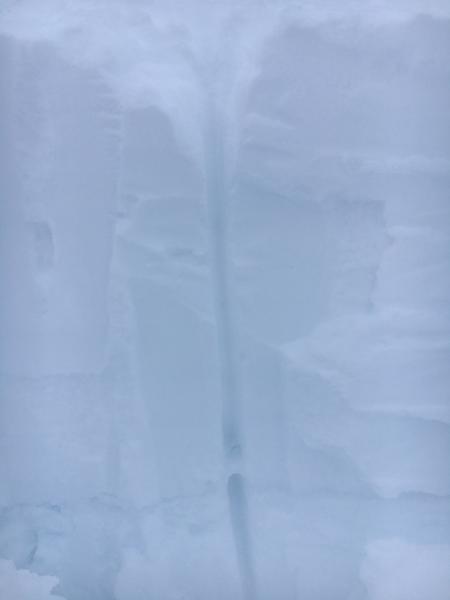
Icy layer. A faceted layer existed on top of this. And the 2' above was consolidated snow from the recent storm.
Today's Observed Danger Rating
High
Tomorrows Estimated Danger Rating
High
Coordinates