Observation Date
1/23/2017
Observer Name
Gary Fuller
Region
Salt Lake » Park City Ridgeline » Pinecone Ridge
Location Name or Route
PC Ridgeline via Pine Cone Ridge
Weather
Sky
Obscured
Precipitation
Heavy Snowfall
Wind Direction
Northwest
Weather Comments
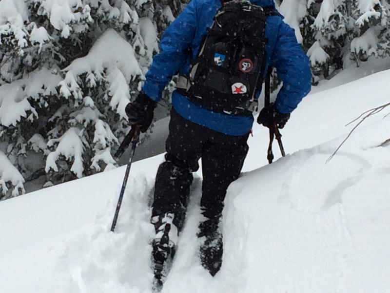
Snowing moderately from 10am to 1pm. Snowfall rapidly increased from 1:30pm to 4:00pm with rates as high as 2" to 3" per hr as front moved through with rapidly increasing winds and a 10 to 12 degree drop in temperature. Still snowing and blowing hard as we exited at 4:30pm.
Snow Characteristics
New Snow Depth
16"
New Snow Density
Medium
Snow Surface Conditions
Powder
Snow Characteristics Comments
Widespread cracking and collapsing as upside down pack was weighted by skier. Several areas along PC ridgeline were heavily wind drifted with very sensitive cornices breaking naturally from overload. Trail breaking was a lesson in fortitude!
Red Flags
Red Flags
Heavy Snowfall
Wind Loading
Cracking
Collapsing
Poor Snowpack Structure
Red Flags Comments
Several wind pillows and striations could be seen in between very intense wind gust on PC side of ridgeline. No Name, South and West Monitors were heavily loaded as wind and new snow created wind pillows 1/3 of way down each slope. Poor visibility prevented any opportunity for pics.
Avalanche Problem #1
Problem
Cornice
Trend
Increasing Danger
Problem #1 Comments
"Pirate Planks" were very widespread along PC ridgeline.
Avalanche Problem #2
Problem
New Snow
Trend
Increasing Danger
Snow Profile
Aspect
Northeast
Elevation
9,800'
Slope Angle
35°
Comments
Widespread collapsing on all windloaded NE,NW,SW,SE aspects. Mid elevation, wind sheltered trees had 31" of new snow which made trailbreaking #@!%ng brutal. Rolled up to ridgeline and got pommeled by an angry, cold wind. Would not recommend approaching anything off PC side of ridgeline for several days.
Today's Observed Danger Rating
High
Tomorrows Estimated Danger Rating
High