Primary focus today was to see if weak surface snow that formed during the recent prolonged period of high pressure and clear skies was preserved underneath any new storm snow. Our travels were between 8800 - 10800'.
Summary of our findings:
- 5 cm (2") layer of preserved near-surface facets sitting underneath the storm snow on shady aspects.
- Thin M/F crust on east and west aspects with weaker snow underneath the crusts.
- Could not find any preserved SH. It is possible that winds at the mid and upper elevations, and warmer temperatures at the lower elevations, have destroyed the layer of surface hoar.
Overall the small amounts of new snow and any wind-drifted snow is not enough of a load to activate preserved layer of weaker snow at the old snow surface. Athough the preserved layer of near-surface facets is easy to identify, it also does not look especially weak, but we will need to watch this layer with a few more storms on the horizon.
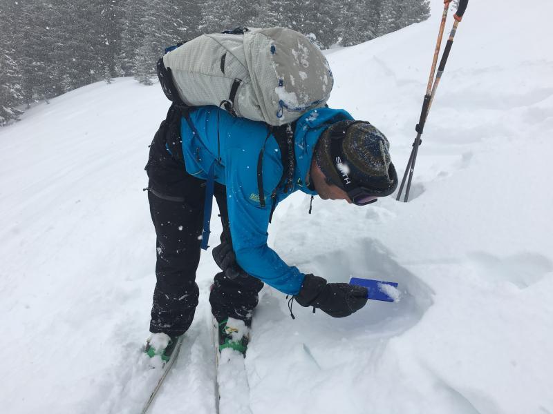
Photo is UAC director Mark Staples looking at preserved layer of near-surface facets now buried 5-10 cms (2-4")
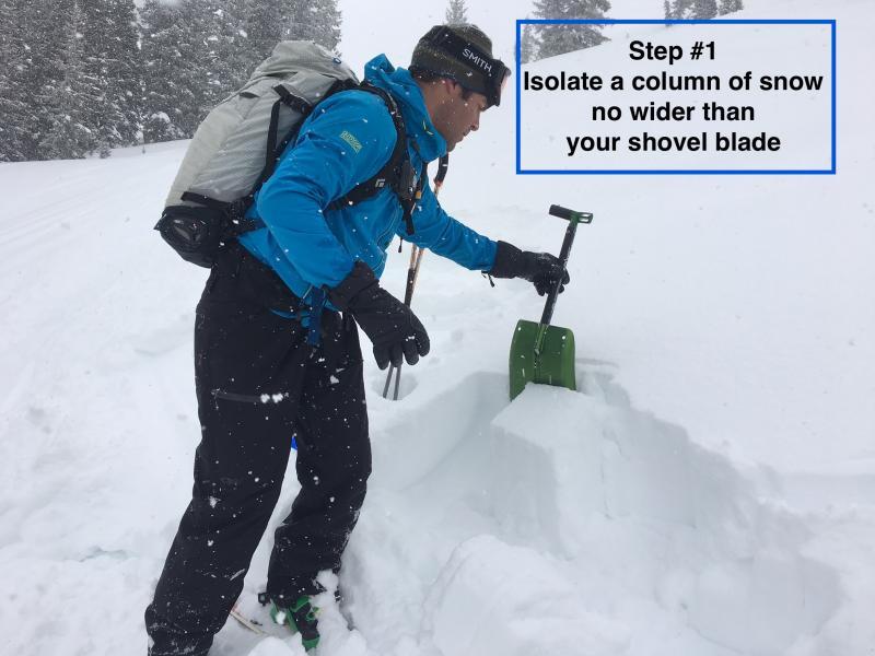
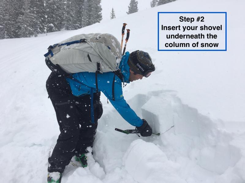
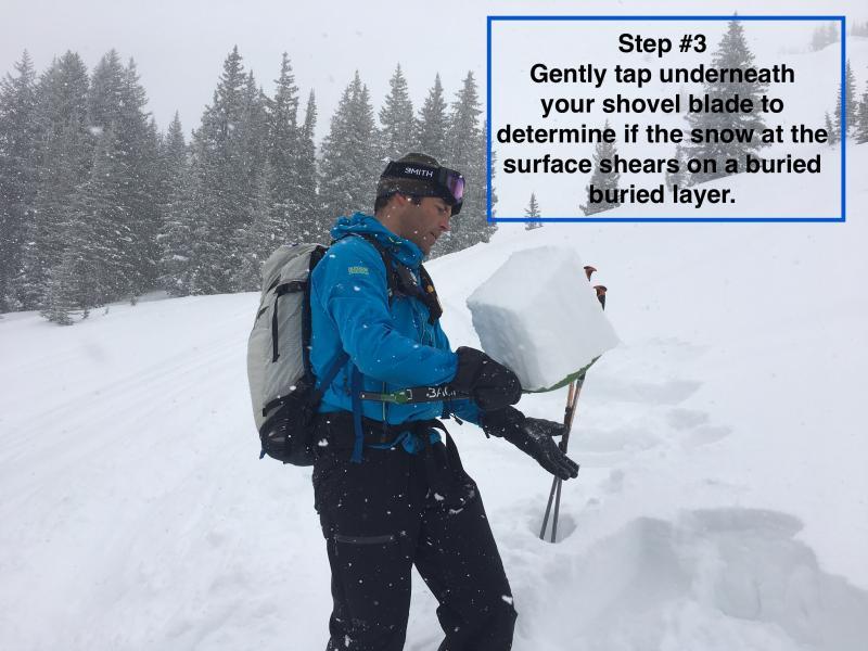
A very useful test to check for buried weak layers near the surface is the shovel tilt test. This is especially useful given our current setup with a small amount of storm snow sitting on top of a buried weak layer. The general idea is to isolate a column of snow on the blade of your shovel. Tilt the shovel to create a slope angle, and then gently tap on the bottom of the shovel blade, looking to see if you can get the layer of new snow to shear on the buried weaker layer.
The photos below show the sequence, followed by the tapping of the blade. Today's results showed the buried layer is weak, but the new snow is not enough of a cohesive slab.