Observation Date
1/13/2017
Observer Name
Chester
Region
Salt Lake » Big Cottonwood Canyon » 10420
Location Name or Route
10420
Comments
Snow depth 235cm! ECT negative.
First weak layer 20 cm (weakest) second weak layer @55cm depth. Third weak layer 80cm. All weaknesses were density changes, loose Stellars that appear to be rounding. My pit may have been too steep for grauple. Snow in my pit looked fairly solid, guessing trend for this storm slab is good.
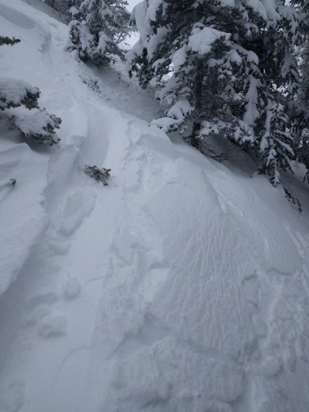
This mini micro windslab may have been formed 10-11am today. A-typical location (10420 ridge to lanes leap sticks up in the air/exposed-not representative.
Thinking moderate today n Tommorow unless heat.
I saw no recent avalanches today. It was hard to see high, and small slides earlier in the week would be very difficult to detect with all the snow.
Today's Observed Danger Rating
Moderate
Tomorrows Estimated Danger Rating
Moderate


