Sign Up for the Utah Snow and Avalanche Workshop (USAW) on December 7th!

Observation: Eagle Point

Observation Date
1/13/2017
Observer Name
Toddeo
Region
Southwest » Tushers » Eagle Point
Location Name or Route
Tushers - Eagle Point Periphery
Weather
Sky
Broken
Precipitation
Moderate Snowfall
Wind Speed
Moderate
Weather Comments
Mixed Bag - Some sun, clouds and snow. One impulse dumped an inch of snow in less than and hour at noon, after that the sun came out. Variable winds strong during the noon impulse. A bit of greenhousing.
Snow Characteristics
New Snow Depth
11"
New Snow Density
Medium
Snow Surface Conditions
Powder
Snow Characteristics Comments

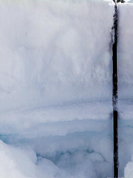
HST - 10-12 sitting on top of the double crust I observed last Sunday. It seems that the storm came in warm and bonded well, I was not able to shear the upper crust/storm snow interface, However there are plenty of issues, see below.

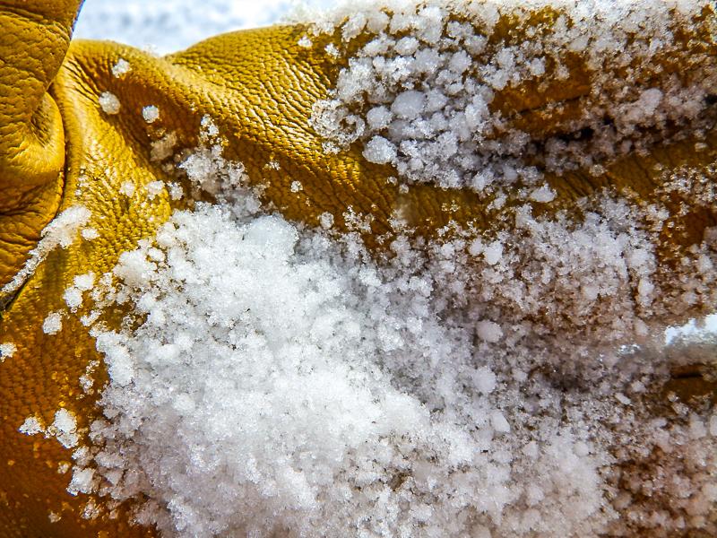
Base of storm snow is graupel, see photo below.

Some areas may have a crust tomorrow due to sun and greenhousing.

Red Flags
Red Flags
Poor Snowpack Structure
Red Flags Comments
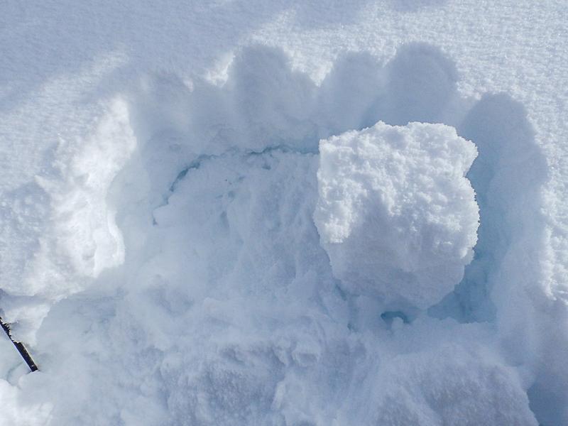
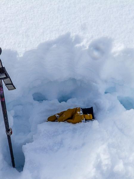
Red flags are all related to snow structure: First thing in the morning, I tried some hand shears at the base of the new snow without results and thought everything was stable, then I looked closer..... I checked a few of my standard spots in the vicinity of Eagle Point. One low elevation ECT test was ECTN, 9,200' NW aspect, 32 degrees, this elevation got more rain than the higher elevations last week. Photo below. I also tested an area at 10,000 on an ESE aspect and was not able to isolate the new snow when cutting the underlying crusts, either one. The snow below each crust including the snow between the two crusts is weak. I also performed an ECT above the Crust, ECTP, 4. Q2 in graupel about 3" above the crust. This would be my immediate concern on steep slopes since the lower crust is supportable and the upper crust is semi supportable. Of note: The upper elevations in the alpine were not as wind blasted as usual, this would lead me to think there may be more shallow hazard than typical in the alpine. It does look like there is plenty of wind affected snow in this area. Some sluffing on slopes approaching 40 degrees.
Avalanche Problem #1
Problem
New Snow
Trend
Same
Problem #1 Comments

Above 9600 feet or snow I would worry about the ECTP results observed above the crusts. At this point i think the weak snow around the crusts are more of a future worry.

Avalanche Problem #2
Problem
Wind Drifted Snow
Trend
Same
Problem #2 Comments

I would speculate that wind slabs are present in the alpine.

Comments

No detailed profile today I was focused on the upper snow pack.

Photos below:

1. ECTN @ 9,200'

Photos 2 to 6 are at the 10,100' elevation:

2. Crust detail

3. Upper profile, the two crusts and graupel layer are somewhat visible.

4. ECTP results, glove is sitting on graupel layer that failed (Q2)

5. Graupel layer that resulted in ECTP

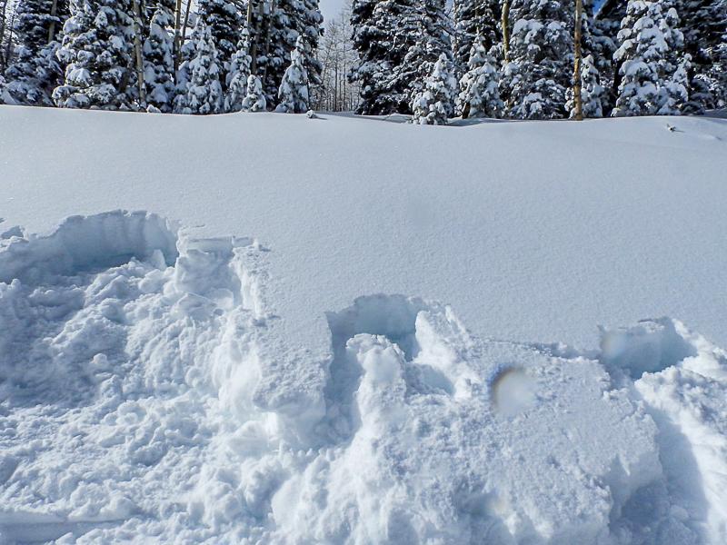
6. Pit area

Overall I would say a moderate hazard below 9,400 feet or so and considerable above that.

Today's Observed Danger Rating
Considerable
Tomorrows Estimated Danger Rating
Considerable