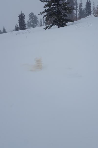
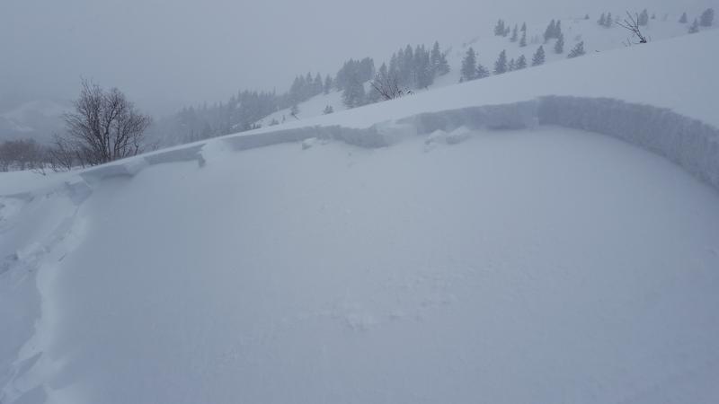
Really upside down snow in sheltered areas where the old blower pow did not blow away. These are the areas that I believe are easiest to trigger touchy storm slabs up to 12" deep. Be mindfull of convex rolls and areas that are not usually prone to avalanches where you could be carried into trees, gully or rocks. I think these storm slabs should settle a little over night before the next storm rolls in. The first photo represents what happens when you perk test in deep light snow than it gets really cold than all the 5% snow blows away. I do think this represents how some areas are much more prone to storm slabs than the areas where the light snow blew away.
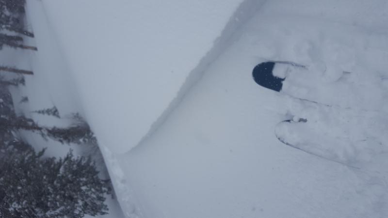
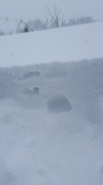
2. quick snow profile you can see the weak layer that failed on ECTP 13 and 16 SC change from 1F to F.
Video
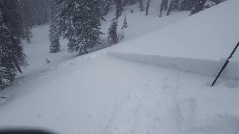
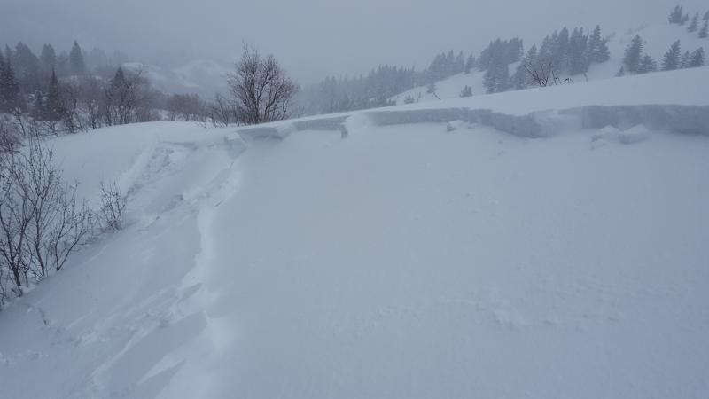
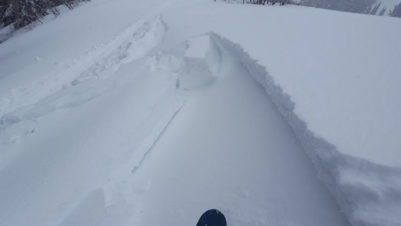
Avalanche just above summer trail on steep roll. Last photo is a quick crown profile you can see the density change from 4F+ to F
Video, Just what winter ordered more moist flow.
Video
If the snowfall rates would have continued a little longer I would have for sure said it was high this afternoon. But skies cleared here in Ogden. Should be high tomorrow if precip rates are what is forcasted.