Observation Date
1/6/2017
Observer Name
Toddeo
Region
Southwest » Tushers » Lake Peak
Location Name or Route
Tushers - Lake Peak
Weather
Wind Direction
North
Wind Speed
Light
Weather Comments
A lot warmer up high than in the valley!
Light winds in the am, minor plumes off of the highest peaks. Subsided by mid-morning.
Snow Characteristics
New Snow Depth
11"
New Snow Density
High
Snow Surface Conditions
Dense Loose
Wind Crust
Rain-Rime Crust
Snow Characteristics Comments
Mixed bag depending on elevation and wind exposure.
New snow was dense and included graupel. At 1st I thought that all of the SW UY snotels must be broken since they were reporting over an inch of water and not very much snow. Turns out the snow was just dense. It seemed lighter (and deeper!) in Fillmore.
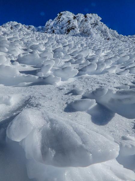
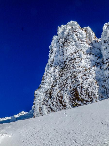
The alpine was scoured down to preexisting surfaces which included rime and old wind slabs/crusts.
Red Flags
Red Flags
Wind Loading
Collapsing
Red Flags Comments
3 minor collapses this morning while poking around on a drifted SE facing slope near treeline.
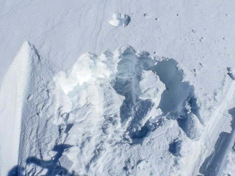
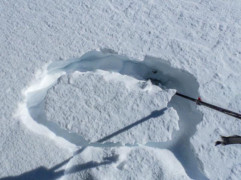
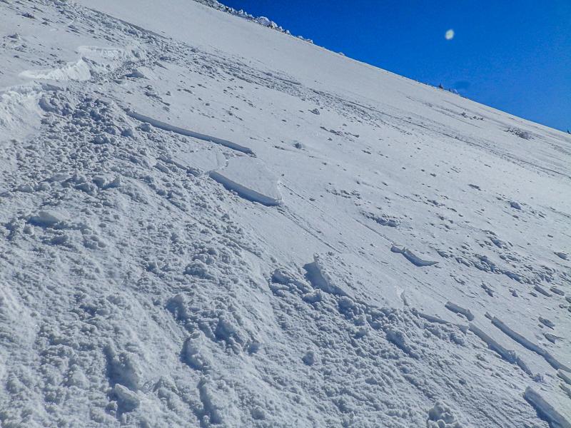
I was able to get a few minor, isolated wind slabs a few inches thick to crack out, minor. I was also unable to isolate some wind slabs/crusts on a 35 degree slope with significant graupel pooling below (photos below). These were isolated situations and not widespread in this area.
Overall a moderate danger, however, I would imagine that it would not be difficult to get caught by surprise if and wind slabs were buried under the dense new snow.
A sled did make it up Mt. Holly, this would indicate that some areas of the alpine have good stability.....
Avalanche Problem #1
Problem
Wind Drifted Snow
Trend
Same
Problem #1 Comments
Avalanche Problem #2
Problem
Persistent Weak Layer
Trend
Same
Problem #2 Comments
There are still basal facets in places. It would be worth performing a detailed assessment before skiing any large north-facing slope.
Comments
No detailed profiles today. In general the storm came in warm and appears to have bonded moderately well. Quick ECT'S were negative outside of the alpine. Photo below, Typical results of quick ECTN on a west facing slope at 10,800'.
There is a rime crust at the base of the new snow.
Photos below:
1. ECTPV, failure on pooled graupel, 35-37 degree slope at 10,900'. Basal facets are located at base of ski pole.
2. The pooled graupel
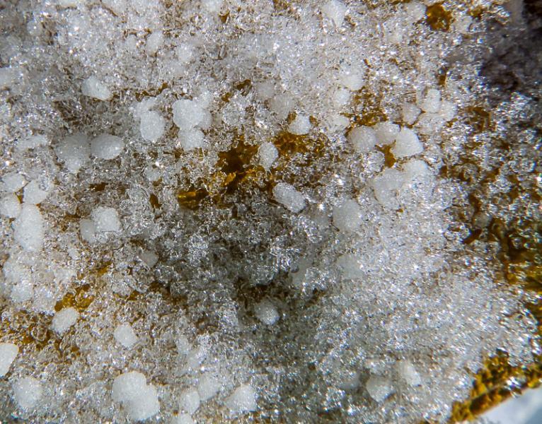
3. Basal facets, they are rounding. Graupel is from higher up the profile.
Photos below show alpine conditions, not powder.....
Photo below:
It was possible to release minor wind slab/crusts
Today's Observed Danger Rating
Moderate
Tomorrows Estimated Danger Rating
Moderate
