Planned Website Outage: The UAC website will be down for maintenance on June 17 from 2:00 - 7:00 PM MT.

Observation: Provo

Observation Date
1/5/2017
Observer Name
Tyler Falk
Region
Provo
Location Name or Route
South Fork of the Provo River, Big Springs
Weather
Sky
Overcast
Precipitation
Light Snowfall
Wind Speed
Calm
Weather Comments
Calm winds and cold temperatures today. Overcast skies most of the afternoon with temperatures in the high to lower teens. Light snowfall tapered off toward the end of the afternoon. Did not notice any transport of new snow but did not get to 10k ridgelines.
Snow Characteristics
New Snow Depth
20"
New Snow Density
Medium
Snow Surface Conditions
Powder
Snow Characteristics Comments

Lots of new snow in the last 24 hours. Depending on elevation 5 to 20 inches of new snow in the last day. Sellers flakes falling through the afternoon.

Red Flags
Red Flags
Recent Avalanches
Heavy Snowfall
Wind Loading
Cracking
Collapsing
Red Flags Comments
The only red flag I did not check was rapid warming. There was a natural cycle which occured last night as Drew mentioned earlier in his earlier observation.
Avalanche Problem #1
Problem
Persistent Weak Layer
Trend
Same
Problem #1 Comments

Lots of examples of these slides in the terrain covered today. Most I witnessed were failing on 2mm facets above the crust from mid December. The ones I looked at ended up having crowns of 80cm or 2.5 feet. I counted seven similar avalanches mostly on North East thru East aspects.

Avalanche Problem #2
Problem
New Snow
Trend
Same
Problem #2 Comments

There were a number of density changes within the storm snow likely leading to some of the slides stepping down into older persistent weak layers buried lower in the snowpack. These storm slabs are all over the compass above 7k in the Provo mountains.

Comments

Quite active last 12 hours out there in the Provo area mountains. Two large collapses and cracking in the snowpack were noticed in my travels which took me through mostly North and Northeast terrain below from 5700' to 8500' today. Not that I needed to do a ECT to confirm what I was seeing out there but did one anyway. Dug at 8k on a West aspect got a ECTP15 Sudden Planar Q1 shear down 82cm on 2mm facets above that stout crust which is widespread on west aspects. Height of snow in this location was around 158cm. Snow is stacking up in the lower elevation areas of the Provo mountains. At 5700 feet there is around 80cm of snow.

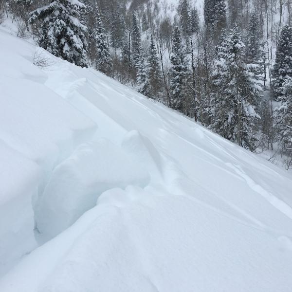
Pic 1 Natural Collapse west aspect
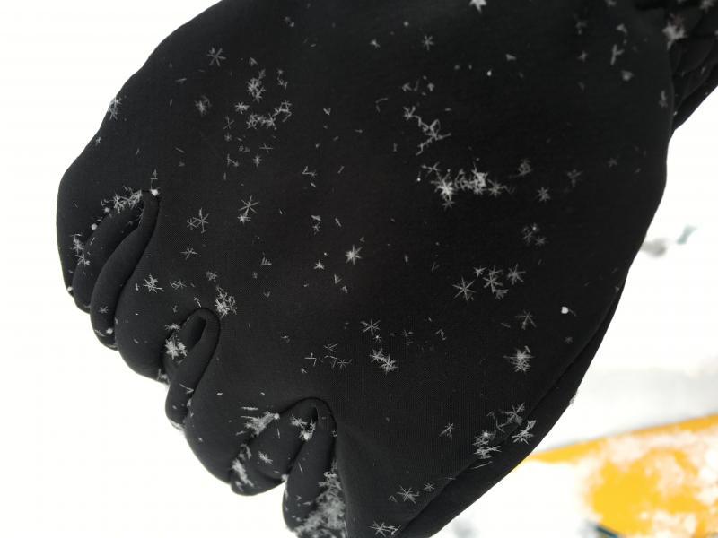
​Pic 2 Seller Flakes

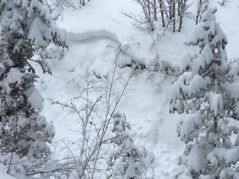
Pic 3 Crowns in gully on way up big springs

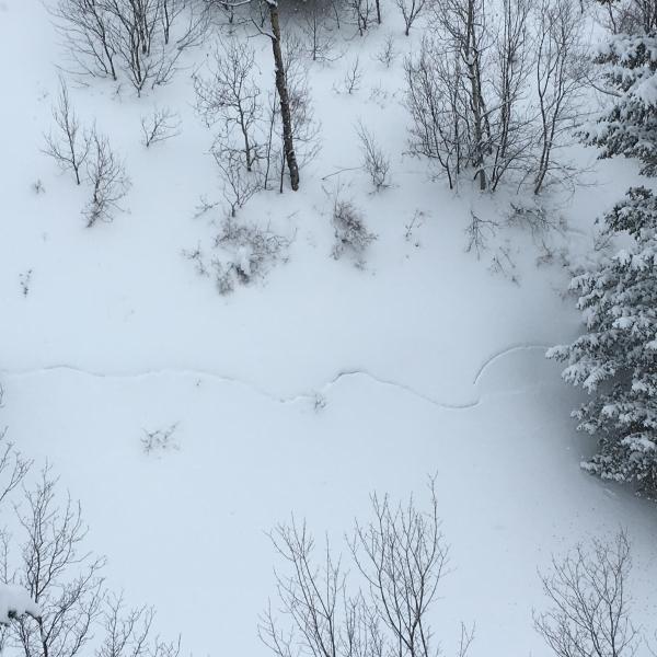
Pic 4 Typical activity for the area

Pic 5 Arrows showing new slides. Likely persistent slabs. Looked like 2-4 deet deep.

Pic 6 Crown and crust

Pic 7 SS-NS-R2-D2 maybe 700 feet wide.

Today's Observed Danger Rating
High
Tomorrows Estimated Danger Rating
Considerable