Salt Lake » Little Cottonwood Canyon » Davenport Hill
Location Name or Route
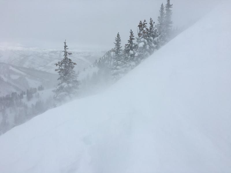
Davenport Hill
Comments
For this upcoming storm, I am primarily concerned about the following existing layers:
1. The layer of near-surface facets now down 45-75 cms (18-30") underneath the Monday/Tuesday am storm snow. On Monday there simply wasn't enough of a slab to make this layer reactive. Was expecting it to be more reactive on Tuesday given all the new snow, but the storm snow was still not acting as a cohesive slab. However, have been getting easy, clean shears on this layer and the grains are quite weak. I am expecting this layer to be reactive with additional dense storm snow.
2. The Monday/Tuesday am storm snow is very low density and will not support the weight of the 2-3" of water and strong winds.
Sustained southwest winds along the ridges were creating sensitive, fresh wind drifts by mid-day Tuesday.
Outside of wind-affected terrain, the hazard appeared Moderate to me as I could only get sluffing within the storm snow. On steeper slopes with fresh wind drifts, I could easily see a Considerable hazard. Hazard at least Considerable by Wednesday morning, possibly quickly rising to High as dense storm snow accumulates.
If this storm comes in as advertised, I would expect the avalanche hazard to rise quickly during the day on Wednesday. Backcountry travelers really need to pay attention to changing, dangerous avalanche conditions with this next storm.