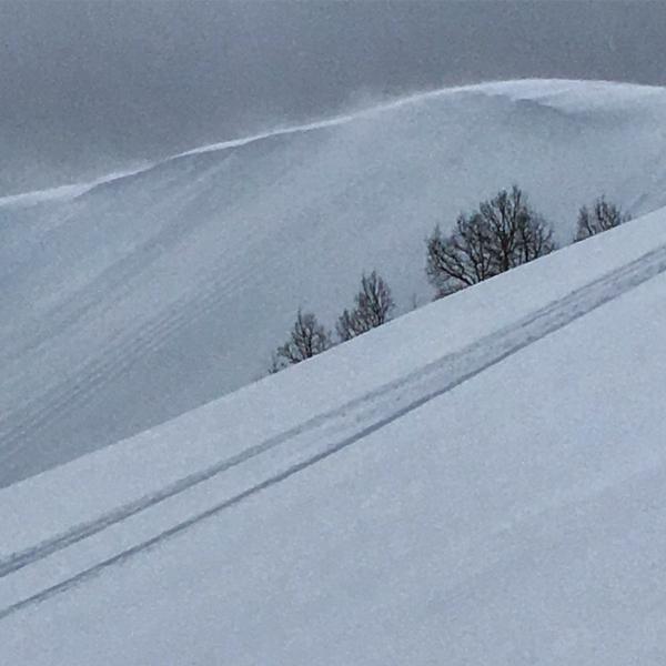
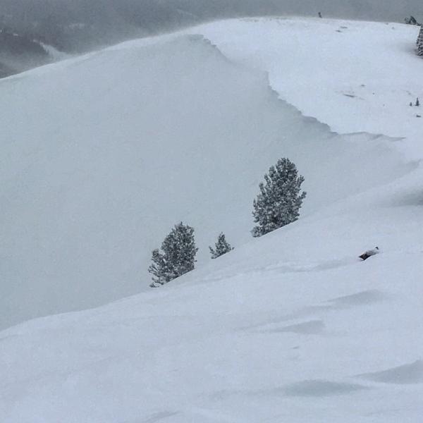
Once again there seemed to be a lack of a large avalanche cycle, from this last storm, in the terrain covered ( ie; W and S Monitor, and Willow Heights ). Both Monitors were covered with long running sluffs and natural cornice drops, as was the West Willow Ridge Line, but I did not note any old or fresh crowns. The wind was transporting snow from the southerly aspects onto the northerly aspects, not sure if it was the wind direction or not but South Monitor seemed to be getting allot more wind loading than West Monitor. No cracking or collapsing today and some of the steeper lines got skied with no activity, that being said I still think it"s prudent after a storm of that magnitude to give it a chance to settle and adjust to the new snow load. Trail breaking was a bit of work but well worth the effort.
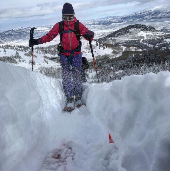
Photos: long running sluffs and wind transport in South Monitor, digging trenches breaking trail
Hazard depends on wind speeds and new snow amounts, but if the wind continues to blow and we get a dose of denser snow on top of the light density considerable seems appropriate


