
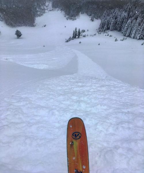
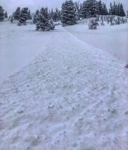
Headed to No Name Bowl today in search of wind protected soft snow underlying the new light density snow from last night and today. Figured the new snow would not bond well to the old hard surface in wind exposed terrain, and also was suspect of it bonding to faceted snow on the surface in wind sheltered steep terrain. Today was one of those days where ski cuts were quite useful in terrain management, ski cut, let the sluffs run their course then ski. We did manage to release one soft slab remotely and unintentionally while skiing, I put that on the Avy page. The faceted surface snow before the storm was quite reactive today, ski cuts would produce long running sluffs that would gouge down to the old surface in steeper terrain. Things might get a bit more serious tomorrow with more wind and snow expected.
Photos: long running sluffs produced with ski cuts.
With more snow and wind I would think high elevation steep terrain is verging on considerable, Its all about the weaknesses formed during the cold clear night the last three days, might require some time to stabalize.


