Observation Date
12/31/2016
Observer Name
Ted Scroggin
Region
Uintas » Elizabeth Pass
Location Name or Route
Elizabeth Pass
Weather
Sky
Few
Wind Direction
West
Wind Speed
Moderate
Weather Comments
Cold morning at the trailhead, but it did wam up in the afternoon. Moderate to strong gusty west winds on the north side of Elizabeth Pass.
Snow Characteristics
Snow Surface Conditions
Dense Loose
Faceted Loose
Wind Crust
Snow Characteristics Comments
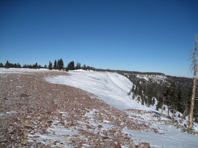
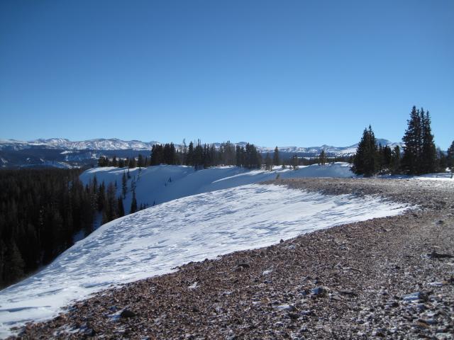
Took a trip to Elizabeth Pass to look at weak snow and this place always gets lots of wind. This east zone does not typically get the snow amounts like you would find in the Whitney Basin area and the wind always seems to blow up here!
Red Flags
Red Flags
Wind Loading
Red Flags Comments
The stiff wind slabs in this area were pretty locked up, but the steady west winds continued to build large wind drifts on the east facing terrain.
Avalanche Problem #1
Problem
Wind Drifted Snow
Trend
Increasing Danger
Problem #1 Comments
Could not get some of the wind drifts to crack much or move, but I did not mess with the big monsters. Find a shallow spot connected to these large drifts and the slope could produce an isolated wind slab avalanche.
Avalanche Problem #2
Problem
Persistent Weak Layer
Trend
Same
Problem #2 Comments
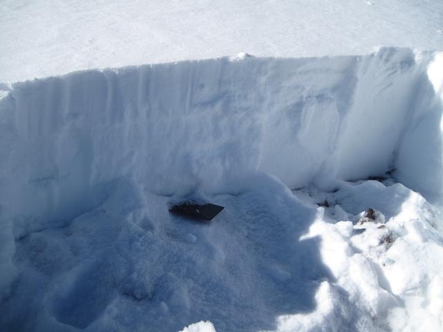
Dug a pit in a quite shallow location and the largest weak sugary snow (facets) I have seen all season. This pit is not a true representation of the snow conditions, but there are places where the snow is still shallow. Not much of a slab on top of this spot, but I would suspect some of the wind slabs are sitting on this set up.
Comments
This east zone always recieves it's share of wind and there is quite the contrast of where the snow ends up.
Some of the weakest snow I've seen this season was in this snow pit just off the ridge line. Not much of a slab here, but with more wind and snow this would be an area to watch more closely.
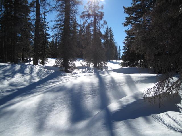
Even in the trees the wind seems to find a way to form these wind drifts.
Today's Observed Danger Rating
Low
Tomorrows Estimated Danger Rating
Moderate