Route today was Cardiff Pass -> Cardiff Fork -> Cardiac Ridge -> Mid Ivory -> exit to BCC. First time in Cardiff/Cardiac this season. Dug a few pits on northerly aspects in Cardiff and Cardiac. No propagation with ECTs, and could only produce Q2 shears at the interface of the Christmas storm, as well as a layer of preserved, but strengthening, NSF down 50 cms. (20") Basal facets are 4F.
HS on Cardiac Ridge ranged from 1.5 - 2.0 meters.
Found widespread wind damage from winds on Tuesday and Wednesday, but they weren't sensitive and at best would only crack around my skis. Most of these wind slabs were 10-20 cms (4-8") and pencil-hard. They are sitting on top of lighter-density snow which would serve as a weak layer if any of these slabs were to crack out more widely.
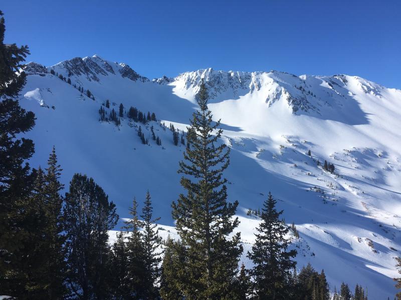
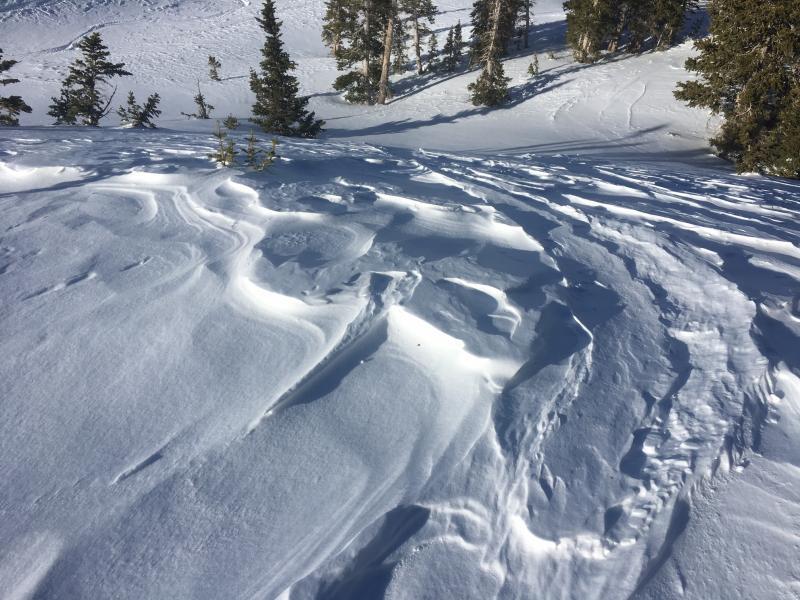
Photo is of Cardiac Bowl and Cardiac Ridge as I was entering in the morning. The Tuesday and Wednesday winds had gone to work and erased old tracks. Second photo is wind-affected sastrugi found at mid-elevations in Cardiac well-down off of ridgelines.
Noticed wide-spread near surface facets (NSF) on wind and sun-sheltered slopes. In some instances, even the surfaces of the old wind slabs were beginning to break down. Not a concern for now, but the snow at the surface is likely to continue to weaken for at least the next 36 hours, and we will need to watch it ahead of any storm or wind-blown snow late this coming weekend.
Overall am thinking mostly Low danger, with a Moderate hazard at upper elevations where you could trigger a hard wind slab. It is also worth keeping in mind the persistent deep slab issue that affects steep, upper elevation northerly aspects. It is such an isolated hazard, but these upper elevation slopes did receive additional wind loading Tuesday and Wednesday.


