Main concern of the day was heating of the new snow on S facing aspects. Skied Radar love SE facing at about 11:00am and the sun was already starting to affect the steeper portions of the slope, hiking out on the same aspect produced rollerballs and some point releases, once we got out of the hole we stayed off steep S facing aspects the rest of the day. The snow was getting quite wet for the first time in a while and small point releases could entrain quite a bit of snow in steep radical terrain. In wind protected N facing terrain the snow was boot deep powder, in the more wind exposed terrain there was a breakable wind crust topping off the lighter density snow. Provoked a few fat wind slabs during the day with no activity, they seemed to have settled out and become stubborn. There was some minor sluffing in terrain steeper than 40 degrees but it didn't pack much of a punch.
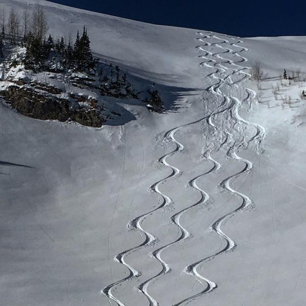
Photos: minor sluffing on a steep roll over.
Moderate for wet activity with daytime heating


