
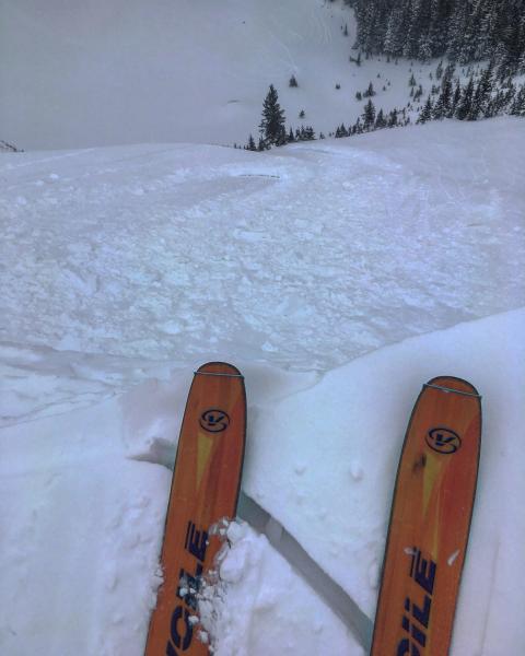
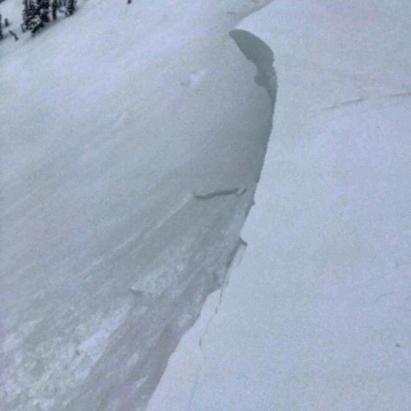
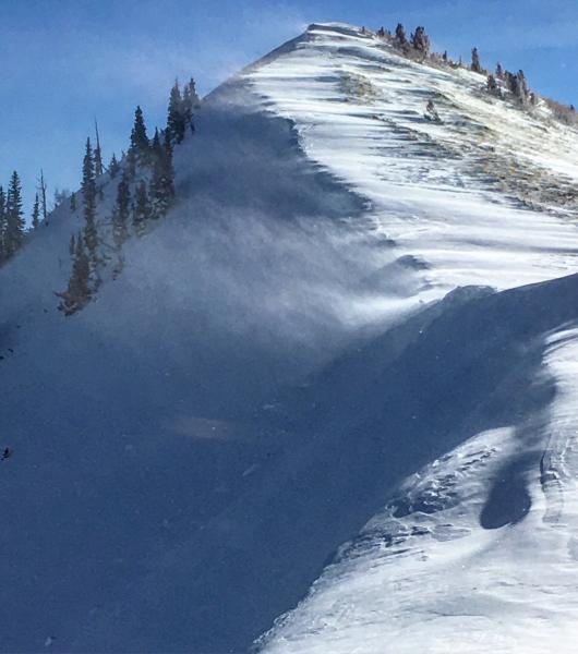
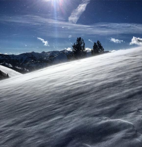
Headed over to Scott's peak at the beginning of the day, west winds were building cornices and loading the NE facing slope. I dropped a decent size cornice on the main face and triggered a wind slab that was about 5 inches deep and 50ft wide, it ran surprisingly far but it was steep terrain and winded. Headed over to No Name Bowl in search of wind protection from the W winds, and some lower elevation sheltered terrain, there was still wind affect but not too the extent of the higher terrain, no slab formation noted. There was little sluffing in the steeper portion of the bowl but it did not pack much of a punch. Both W and S Monitor were quite wind affected, with some raised tracks and wind sculpting. Most of the High W and S on the ridge line was wind scoured. The main red flag today was the wind loading occurring on the high ridges, I could see lots of wind loading in both Monitors and the higher ridges in LCC.
Photos: Cornice drop, and shallow soft slab, wind loading on the exposed ridges.
Moderate in wind affected terrain, low in all other terrain


