Observation Date
12/16/2016
Observer Name
mark white
Region
Salt Lake » Park City Ridgeline
Location Name or Route
PC Ridgeline
Weather
Sky
Obscured
Precipitation
Moderate Snowfall
Wind Direction
Southwest
Wind Speed
Strong
Weather Comments
And I thought yesterdays wind were intense, blowing even harder today with the ability to knock you down if you didn't lean into it. Warm and wet this AM out of the wind, once on the ridge full on conditions, ground blizzard. Cold front rolled in about 12:30 with lightning, thunder, heavy graupel and a increase in the already strong winds, also a dramatic drop in temperatures.
Snow Characteristics
New Snow Depth
14"
New Snow Density
High
Snow Surface Conditions
Dense Loose
Wind Crust
Damp
Snow Characteristics Comments

The surface of the snow was damp up to about 9000ft, above that dense and thick in wind protected terrain, wind slab in non wind protected terrain.

Red Flags
Red Flags
Recent Avalanches
Heavy Snowfall
Wind Loading
Red Flags Comments
Once again wind loading was the main red flag today, followed by heavy snowfall.
Comments

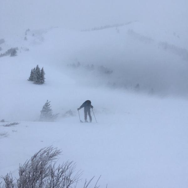
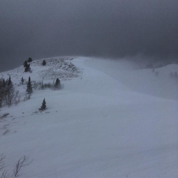
The plan was to get up to the high ridge line before the front arrived to get a look and see if there was any new activity, got there about the same time the front hit. Did note one large avalanche in South Monitor that I put on the Avy list. By the time we reached the radio towers above Radar Love we decided to pull the plug due to zero visibility, intense winds and thunder and lightning. I would think that there was a nice avalanche cycle this morning due to the intense wind loading and new heavy snow.

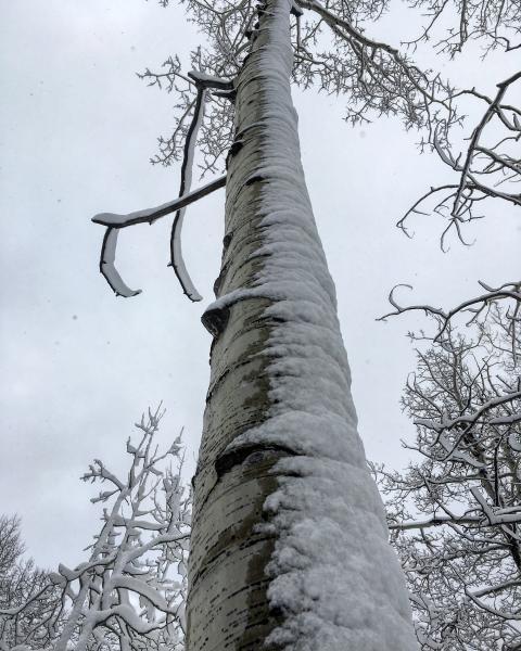
Photos: Wet snow sticking to the windward side of the trees, Jim Steenburg battling against the wind on the ridge line, short lived glimpse of South Monitor.

Hard not to go with high after all the heavy snow and wind, plus natural avalanches were occurring. That being said after things settle out I think that our snow pack is going to be in pretty good shape, except lower elevation where the rain took its toll on snow depths.

Today's Observed Danger Rating
High
Tomorrows Estimated Danger Rating
High