Observation Date
12/15/2016
Observer Name
mark white
Region
Salt Lake » Park City Ridgeline
Location Name or Route
PC Ridgeline
Comments
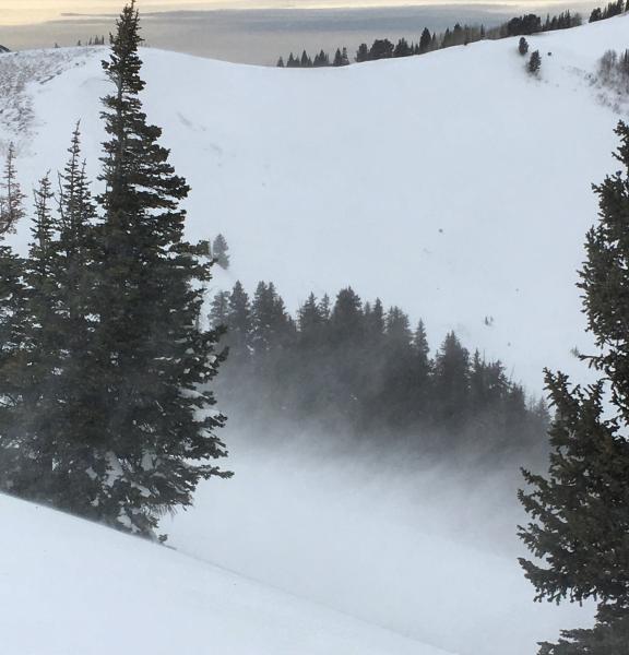
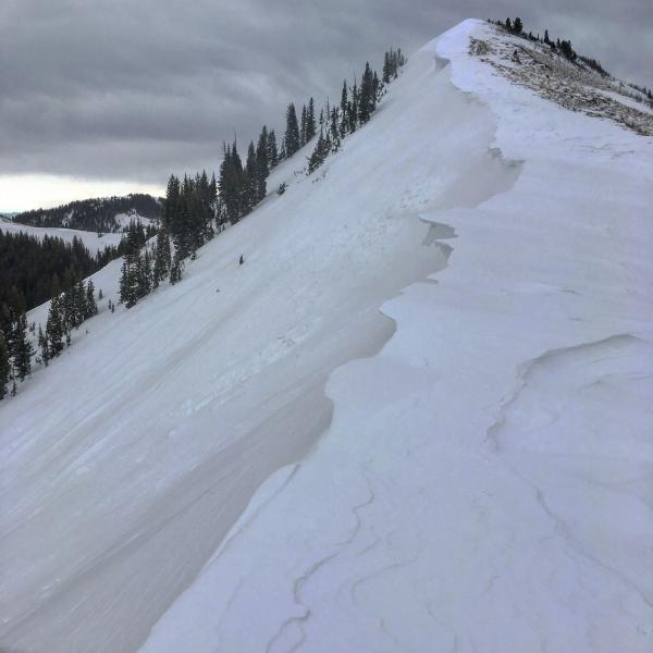
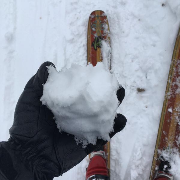
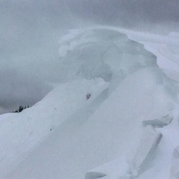
Went form Scott's Peak to No Name then on to S and W Monitor. Scott's was riddled with cornice falls but I did not note any avalanches, No Name did not have any activity either but it looked ripe for a slide. Both S and W Monitor had cornice triggered wind slabs that ran to the flats at the bottom, with crowns in the 1 to 2 foot range, south facing was getting wind scoured to the dirt.
Photos: rapid wind loading on the ridge line, Scott"s with most of it's cornices already gone, damp snow under 9000ft, unmanageable cornices growing fast.
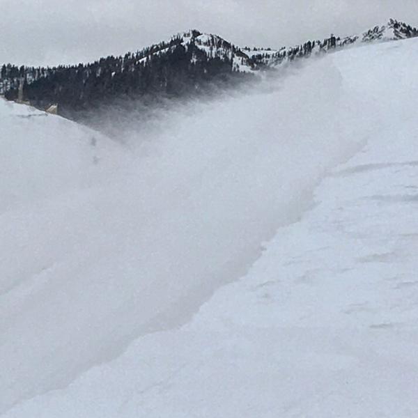
With continued winds and snow would think tomorrow would be verging on High.
Today's Observed Danger Rating
Considerable
Tomorrows Estimated Danger Rating
High


