Thinking the weakening snow surface maybe our next active weak layer. On the shady slopes, the surface snow seemed uniformly faceted and loose at all aspects. Many slopes had a very thin rime crust, too, another weak surface layer.
I'm thinking this current weak surface snow could get buried and preserved by tomorrow's few inches of forecast snow, and will need to be carefully watched. If we get the high end amounts of snow tomorrow or in wind drifted areas, I'd expect the new snow to bond poorly to this faceted surface snow, and it might be easy to trigger sluffs and shallow new snow soft slabs.
A second issue is just how variable the snow is now, especially in the shallower areas outside the upper Cottonwoods. In distances as short as 100', you can go from a deep, stronger pack to a shallow, almost completely faceted snow pack. Mid pack weak layers seem to come and go, and the basal facets are variable from pit to pit. The snow on ridgeline, wind eroded, northwesterly facing slopes seemed especially shallow and the whole snow pack completely faceted.
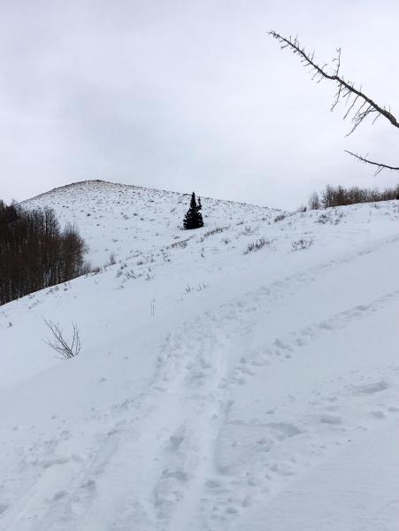
Lots of shallow snow, with grass and shrubs sticking through.
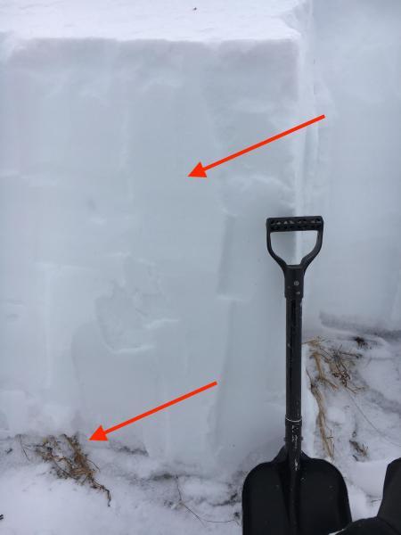
Pit was on a north facing slope, 9300'. I don't think it was in a representative spot where you might trigger a slide - snow was too deep, probably too close to the ridge line and wind drifted. ECT - no propagation. CT13 on mid storm layer (upper arrow) and CT15 on basal facets (lower arrow).