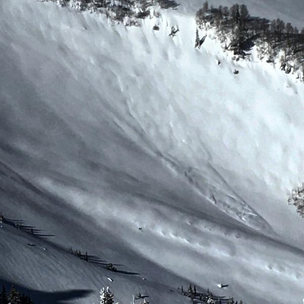
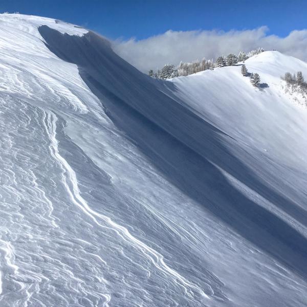
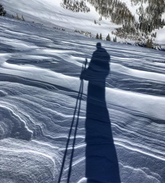
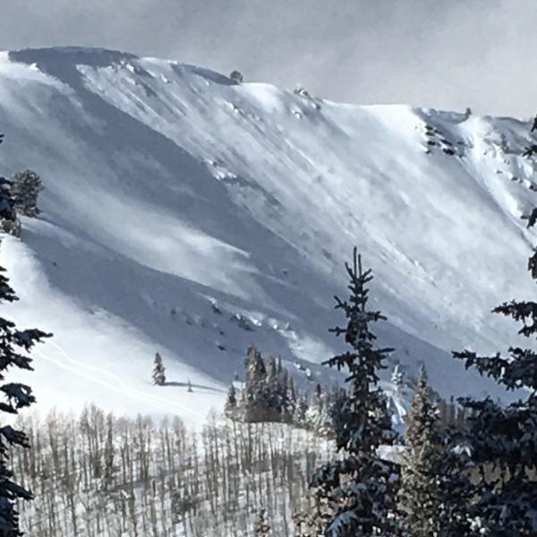
I was expecting to see a little more activity from the storm but there where clearly slopes that ran during the night. Terrain covered was Scott's Peak, No Name Bowl, South and West Monitor. Looked like the right side of No Name had avalanched during the storm leaving debris piles in the small trees at the bottom, appeared to run almost full track, crown must have been filled back in by the wind and additional snow. There was also a avalanche in SE facing South Monitor that broke out on the steep SE facing portion of the bowl below the band of aspens and ran down to flatter terrain, most likely wind load induced from the strong W winds. I was hard to tell but it also appeared that West Monitor had some activity in the center of the bowl during the storm. The biggest slide I noted was most of E-SE facing Raymond I was checking it out through binoculars and looked like a fairly big slide. Not a whole lot of activity noted today no collapsing and only localized cracking in obvious wind drifts. Was kinda surprised how fast Dutches Draw got tracked out with no incidents, it was the only big NE facing line that I saw get skied today .
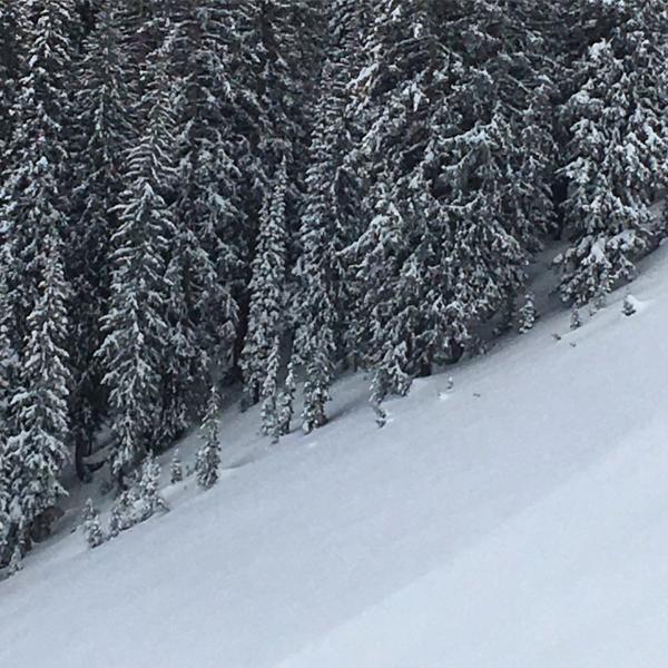
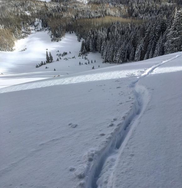
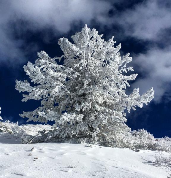
Photos: Slide in South Monitor, Debris in the trees in No Name Bowl, wind transporting snow into South Monitor, Animal track across the face of No Name which was not nearly enough to tempt me, wind damage on the ridge line, lots of rime in the trees, and evidence of activity in West Monitor.
I'm thinking with time and settlement most slopes will become stable, but it takes some time and patience, winters only begun no need to rush Mother Nature. There was still lots of snow transport going on in upper Cardiff Fork, and would be warry of high wind loaded NE and E.


