Observation Date
12/9/2016
Observer Name
Wilson, Hardesty
Region
Salt Lake » Park City Ridgeline
Location Name or Route
PC Ridgeline
Weather
Sky
Broken
Wind Direction
West
Wind Speed
Light
Weather Comments
I don’t much like the phrase “low expectations are the key to happiness”….but that doesn’t mean it’s not true! Expected wet snow blowing in my face all day, but got marvelous weather. Started tour in mid-morning calm, clouds were broken with patches of blue. Wind picked up from the WSW along PC ridgeline by afternoon, but remained calm below. Warm, probably high 20s. Riming from last night above roughly 9600, closer to ridge.
Snow Characteristics
Snow Surface Conditions
Powder
Dense Loose
Wind Crust
Snow Characteristics Comments

Almost untracked blanket of white: fairy tale! Although snow was wind affected near ridge lines, and was loud and sticky in the way that recommends snow-man construction on the track out of Willows, between these elevation extremes the skiing was really quite good.

Some riming up high but, at least in PC ridge line area, I don’t expect riming to make the impermeable layer that impacts future conditions.

See profiles below for details, but not much alarming to note.

Red Flags
Red Flags
Recent Avalanches
Wind Loading
Red Flags Comments
Avalanche in No-Name bowl, but nothing much to see in monitors. No obvious slides visible from our vantage point. Wind loading and scouring certainly occuring across the open high elevations.
Snow Profile
Aspect
North
Elevation
9,600'
Slope Angle
25°
Comments

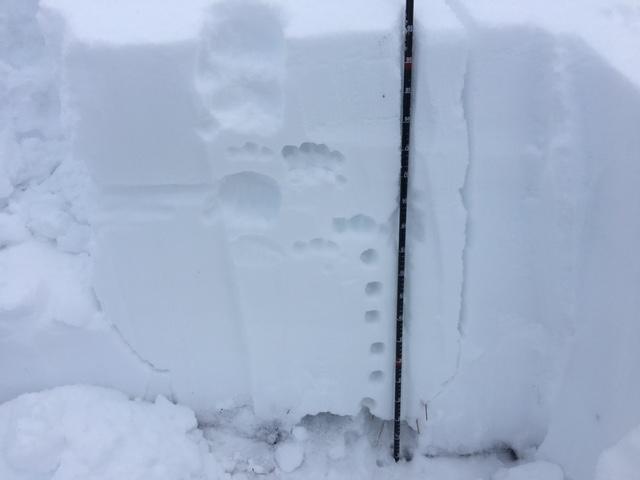
North 9600’, 25°, HS 100cm. 5 mm facets at the base were damp and unreactive; ECTX x 2. Intermediate layers of small facets could pose problem under loading, but again, no test results on these layers.

WSW, 9600’, 33°, HS 90, wind affected. Surprisingly layered. Shovel shear with no alarming results. Two primary planes about 10 cm down and 25 cm down, lower was below a wind slab and might have been small facets. Upper failed with compression more than shear. Further below (9200) the snow was shallow (60cm), soft and decidedly less layered.

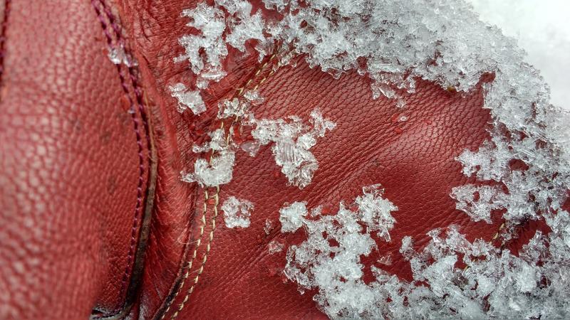
Photos: Damp facets, North-facing test pit.

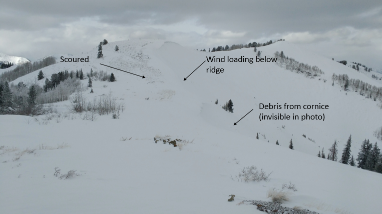
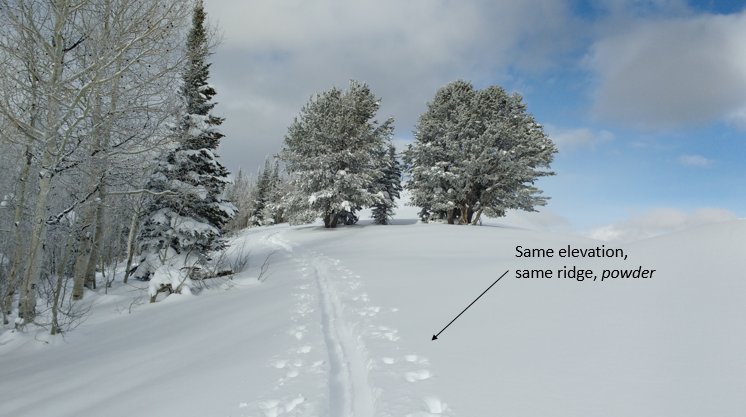
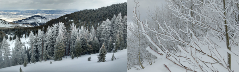
A tale of two ridge lines. And a strong case for trees!

Riming started a couple hundred feet below the ridge line (9600)

With some moderately weak layers mid-pack, much depends on the amount of snow that the Saturday-Sunday storm actually delivers.

Today's Observed Danger Rating
Moderate
Tomorrows Estimated Danger Rating
Considerable
Coordinates