Sign Up for the Utah Snow and Avalanche Workshop (USAW) on December 7th!

Observation: Cedar Spring Canyon

Observation Date
12/9/2016
Observer Name
Toddeo
Region
Southwest » Pahvant Range » Chalk Creek » Cedar Spring Canyon
Location Name or Route
Pahvants - Cedar Spring Canyon
Weather
Sky
Broken
Wind Speed
Calm
Weather Comments
Warm day, mostly calm, a light south breeze in the afternoon. I was able to ski a couple of runs without a jacket or windbreaker.
Snow Characteristics
Snow Surface Conditions
Powder
Dense Loose
Melt-Freeze Crust
Damp
Snow Characteristics Comments

Lower elevations were crusted in the morning.

Norths above 8,000' were still dry this morning. All aspects were damp by noon. Snow was downright sticky on my exit at 3 pm.

Red Flags
Red Flags
Rapid Warming
Red Flags Comments
Snow on north aspects warmed and dampened very quickly today.
Avalanche Problem #1
Problem
Wet Snow
Trend
Same
Problem #1 Comments

If I was skiing in avalanche terrain today, I would have been concerned about the rapid warming.

Moderate hazard.

Avalanche Problem #2
Problem
Normal Caution
Trend
Same
Problem #2 Comments

Still a thin snow pack in this area.

Snow Profile
Aspect
Northwest
Elevation
8,400'
Comments

HS is 18-20".

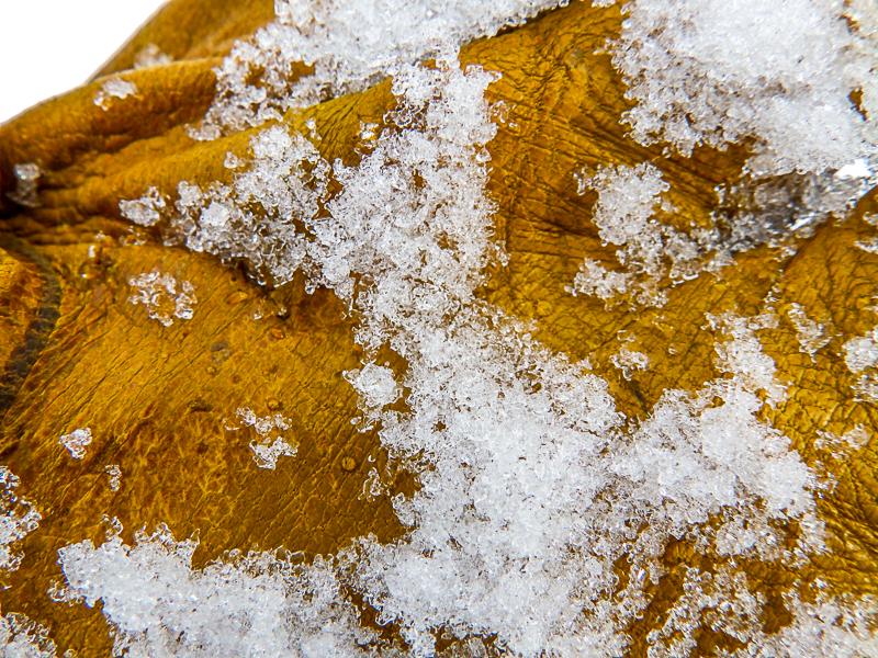
Basal 4" are 2-finger density, damp rounding facets that are starting to coalesce/chain and heal (see photo below).

Overlying snow is all 2 finger density with the exception of one layer that is an old crust of 1 finger density about 5" above the facets.
Photos below:

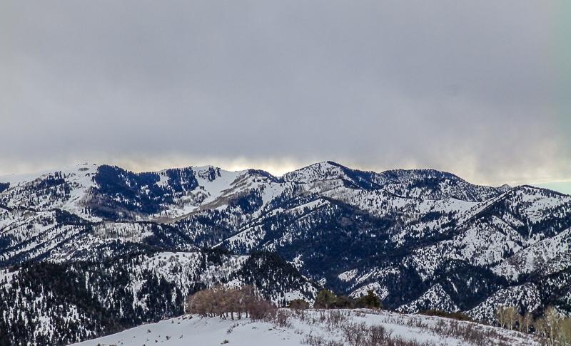
High terrain in Pahvants; and

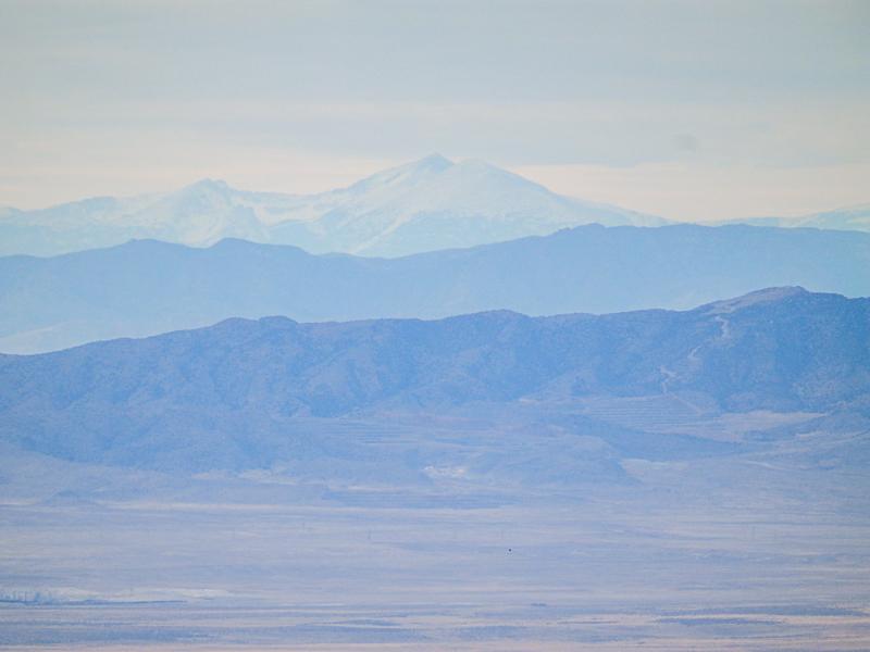
Mount Wheeler though my superzoom lens.
Mid elevations melted significantly today, had to walk a lot further today than on Wednesday.

Pilgrims are still trying to drive into the high country without success.

Skied NW, SW, S and SE aspects today. Also skied the upper portion of Cottonwood Canyon.

Today's Observed Danger Rating
Moderate
Tomorrows Estimated Danger Rating
Moderate
Coordinates