
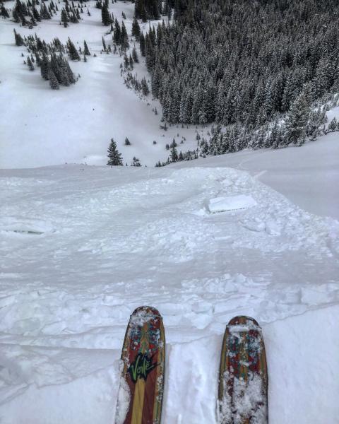
Went out today expecting more dense snow and wind slabs, and avalanche activity, not really the case in todays travels. Headed for Scotts Peak first, a prime place for wind loading and buried facets on the north facing, dropped a couple cornices on the steep north facing with no results. Decided to head over to No Name because I had noted surface faceting in that area prior to the last three little storms, and the wind was less of a factor in the wind protected terrain. Came upon a unintentionally skier triggered slide on the steep skiers right side of the bowl which I put on the avalanche list. There are buried facets in the pack but in my opinion we are going to need a bigger load for any natural avalanches, but it does seem possible for skier triggered slides on these buried facets which are now buried about 10 to 12 inches under the surface.
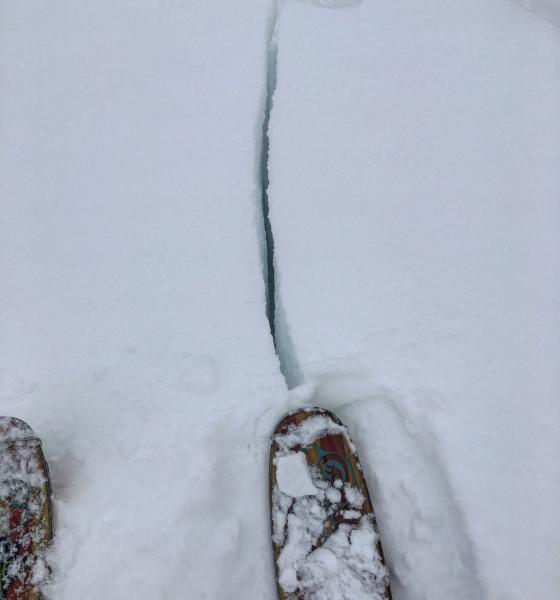
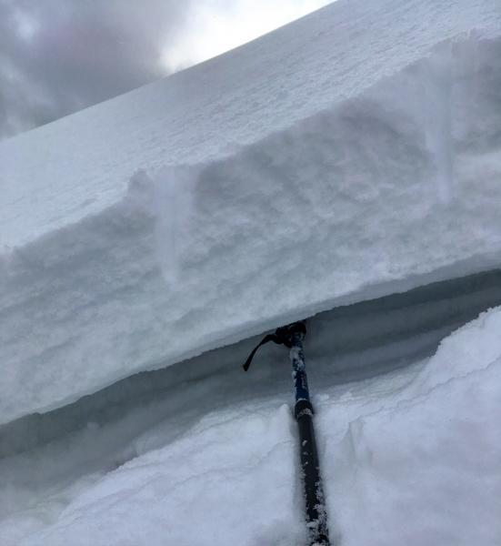
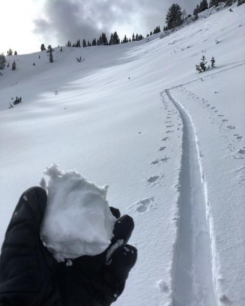
Photos: Cornice drop in Scotts, Cracking wind slabs on the upper exposed ridge line, facet layer under the crown of the avalanche cleaned out with the slab remaining in place, denser snow compacting into a snowball from last nights storm
Sticking with moderate until we get more of a load or strong wind transport.


