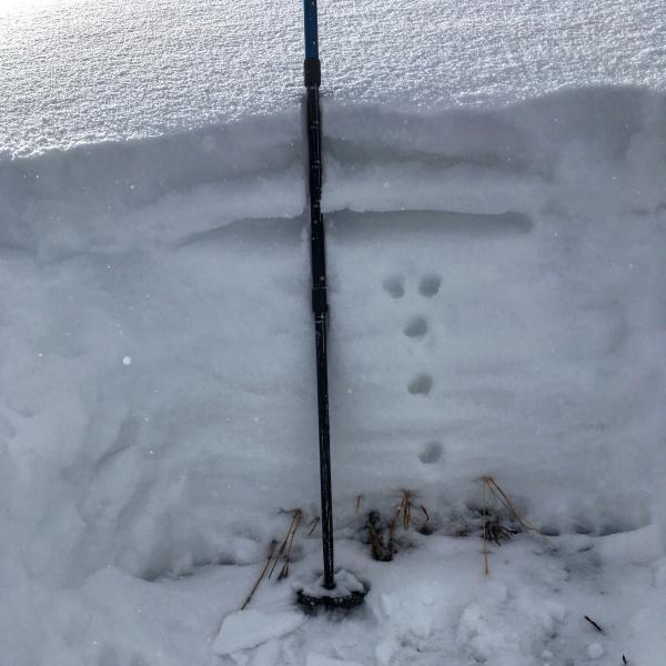
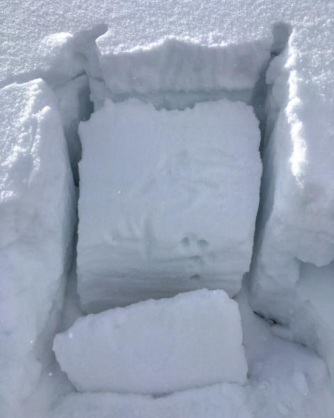
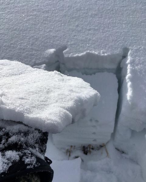
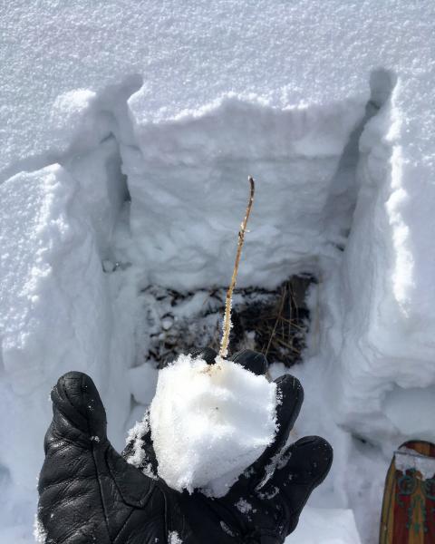
Todays route was up Mill D North dropping into Buttler Fork from Dog lake, skiing Soldier Fork and the Nipple. Wanted to get a look at the starting zone in NE facing Soldier Fork and see what kind of faceting was going on before the incoming storm, it was one of those places with a thinner snow pack that would facet quickly from the last 3 or 4 days of cold temps. Snow pit revealed 3 inches of new light density sitting in a 1.5 inch wind slab which was resting on small grained facets from before the last few days of wind. Easy shear on the facets under the wind slab first real weak layer I've seen at this elevation this year, the rest of the pack seemed fine, damp, compactible snow at the ground interface dense snow on top getting lighter as you moved up through the pack. These preserved facets under the wind slabs will most likely be a player if we get a decent load on top, and might allow a person to get out on a slab before it fails, there not going anywhere right now.
Photos: snow pit with the layering exposed, with the wind slab under todays new snow. Failure plain on facets under the thin slab. Thin slab. Damp, compactible snow at the ground interface.
Sticking with low hazard until we get a new load.


