Planned Website Outage: The UAC website will be down for maintenance on June 17 from 2:00 - 7:00 PM MT.

Observation: White Pine

Observation Date
12/4/2016
Observer Name
Wilson, O'Connor, Hardesty, Williams
Region
Salt Lake » Little Cottonwood Canyon » White Pine
Location Name or Route
White Pine
Weather
Sky
Overcast
Wind Speed
Moderate
Weather Comments
Calm in the morning, but winds did pick up around 1pm and blew intermittently throughout the afternoon. The Baldy weather station surprisingly shows winds quieting slightly just as we started to see more blowing snow; a reminder how locally variable wind speed (and subsequently wind loading and wind slabs) can be. Direction quite changeable in the valley. Warmer than yesterday, but cloud cover kept solar aspects from heating (at least in White Pine). Sounds like the colder weather is on tap for tomorrow.
Snow Characteristics
Snow Surface Conditions
Powder
Faceted Loose
Wind Crust
Snow Characteristics Comments

For those of us accustomed to low-snow at the trailheads and deeper blanketing up high, this more-even coverage from basically one cold storm takes some getting used to. Snow heights of 60 cm can be seen at Red Pine/White Pine junction (around 8200) or on the Tri-Chutes aprons (about 10,000’). Thought we’d ski to East Pass but talus fields told us otherwise!

Quick hand pits on high elevation west gave no signs of concern: right side up slab over damp facets. This could change with the wind blowing snow this afternoon and presumably through the evening. On the home-run ski I cracked-out small chunks of shallow wind crust.

Finally, surface hoar formed under this morning’s high-enough RH, cold temps, and clear skies. Grains were not standing “loud and proud” as one ski partner commented, but certainly present where terrain features pool the still, cold air. I didn’t get a good sense of its distribution, but if Monday’s snow buries the hoar before wind knocks it down it could be a layer to keep track of in isolated areas. Slightly slippery skinning might also speak to minor near surface faceting on some slopes.

Comments

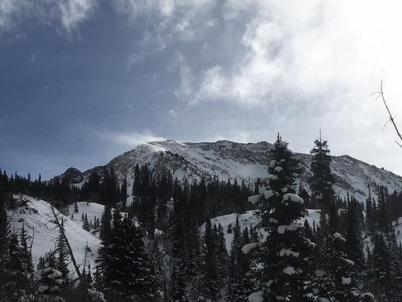
Blowing wind on the ridgeline, but not a major factor down low. There's still plenty of unconsolidated powder available to a motivated bluster, and we experienced a bit of redistribution (quickly covering tracks) near east pass.

Terry O'Connor smiling at our potential East Pass line, bemused by the coverage.

On west, even up high, danger seemed low today. Probably a different story to the north.

Today's Observed Danger Rating
Low
Tomorrows Estimated Danger Rating
Moderate