Observation Date
11/29/2016
Observer Name
Craig Gordon
Region
Salt Lake » Big Cottonwood Canyon » Brighton Perimeter
Location Name or Route
Brighton Perimeter
Weather
Sky
Overcast
Precipitation
Light Snowfall
Wind Direction
North
Wind Speed
Light
Weather Comments
Weather not affecting snow stability
Snow Characteristics
New Snow Depth
2'
New Snow Density
Low
Snow Surface Conditions
Powder
Wind Crust
Snow Characteristics Comments
Deep light snow starting to gain some body. Travel was easier today than during the height of the storm.
Red Flags
Red Flags
Heavy Snowfall
Wind Loading
Red Flags Comments
Recent heavy snowfall and strong winds during the storm are the obvious players. However, the terrain I traveled in revealed very little in the way of spooky, early season conditions.
Avalanche Problem #1
Problem
Persistent Weak Layer
Problem #1 Comments
A week ago Mt. Millicent only had a few patches of early season snow... and then it was winter. Other than some high elevation, north facing outliers that had old, faceted September snow near the ground, the pack feels really solid and generally homogenous.
Avalanche Problem #2
Problem
Wind Drifted Snow
Problem #2 Comments
Wow... our snowpack went from zero to hero.I found a few density inversions within the storm snow. Top 8"-10" inches cracked out around my skis, but was lacking energy.
Comments
Today's Observed Danger Rating
Considerable
Tomorrows Estimated Danger Rating
Moderate
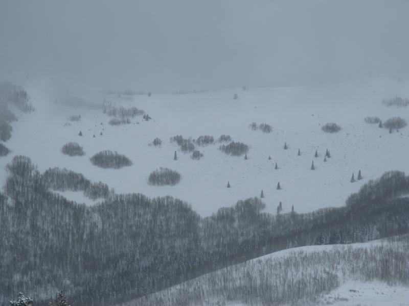 South facing terrain is starting to fill in, so there's an option if you wanna remove any question regarding facets near the ground. USA Bowl, pictured here, was brown and brushy prior to the big storm.


