
Observation Date
11/28/2016
Observer Name
mark white
Region
Salt Lake » Park City Ridgeline » Scotts Peak
Location Name or Route
Scotts Peak, USA Bowl
Comments
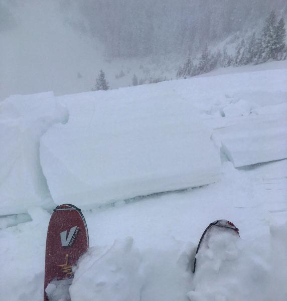
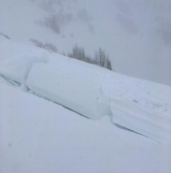
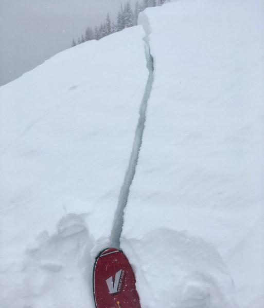
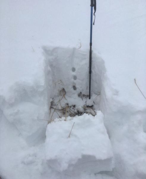
Wanted to take a look at some steep N facing terrain that had old snow on it before the last 3 storms, Scotts Peak seemed like a good candidate. Scotts was getting wind loaded and large cornices were forming on the N side but no activity was noted on the main face, dropped a mini van size cornice with no results, cornices were quite sensitive you could get then to crack and drop from a ways back. Dug a pit on W facing USA Bowl, total snow pack was around 30" that went from damp snow at the ground to denser snow at the base and gradually getting less dense as you traveled up through the pack with 15" or so of blower capping it off, not really seeing any layering or weak layers, the column failed on the damp snow at the ground, but needed to be pried out. Also did not note any weaknesses in the new snow. That being said by the time we left things were starting to change, the wind was increasing as was PI rates and exposed terrain was starting to slab up, there was also some graupel falling on top of the light density snow from before. We did experience some cracking on the ridge lines, and in the wind effected snow, but no collapsing mainly because there was no old faceted snow underlying the pack in W facing USA Bowl.
Photos: Cornice drop in Scotts, cracking on the ridgeline, snowpit. sorry for photo quality it was a rough day for visibility
As far as hazard goes I'm thinking today was in the considerable category but if the wind and the high PI rates continue into the night high would not be out of the question tomorrow
Today's Observed Danger Rating
Considerable
Tomorrows Estimated Danger Rating
High


