Observation Date
11/23/2016
Observer Name
Drew Hardesty
Region
Salt Lake » Little Cottonwood Canyon » Alta Periphery
Location Name or Route
Albion to Rocky Point
Weather
Sky
Broken
Wind Direction
Southwest
Wind Speed
Moderate
Weather Comments
Moderate to strong winds out of the southwest. This the main player in the prefrontal environment ahead of the storm that I see out the front window as I write.
Snow Characteristics
Snow Surface Conditions
Powder
Wind Crust
Melt-Freeze Crust
Snow Characteristics Comments
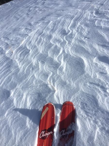
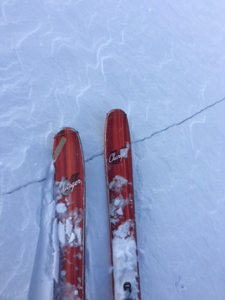
Again, the winds. See pics below of etching and drifting. Sometimes it's the subtleties that make all the difference. It's worth a listen - http://radiowest.kuer.org/post/lost-art-natural-navigation - in an interview on RadioWest, the adventurer Tristan Gooley talked about the lost art of observation and navigation.
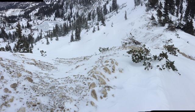
Today's backcountry example looks at etching - the slip-face of snow with the steep part facing the wind - and then deposition zone. From left to right. You'll see the quick video below. In this case, it was just a few feet between etching and wind slab.
Red Flags
Red Flags
Recent Avalanches
Wind Loading
Cracking
Collapsing
Poor Snowpack Structure
Avalanche Problem #1
Problem
Wind Drifted Snow
Problem #1 Comments
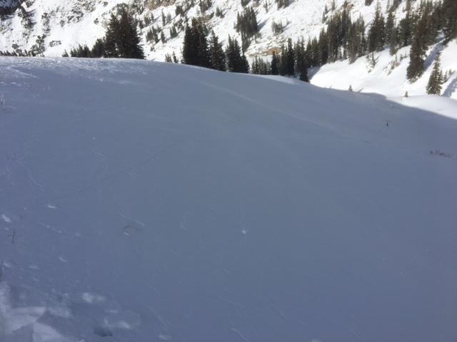
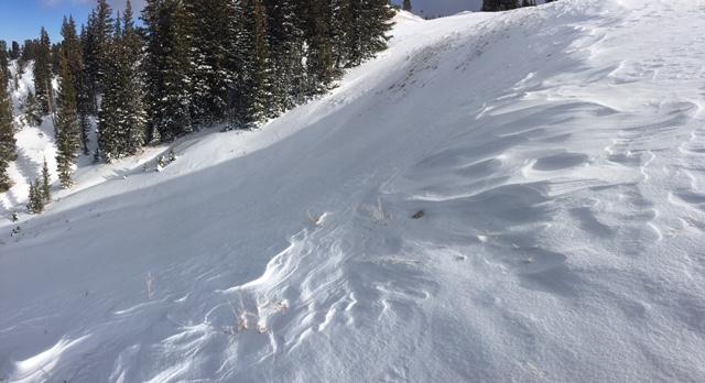
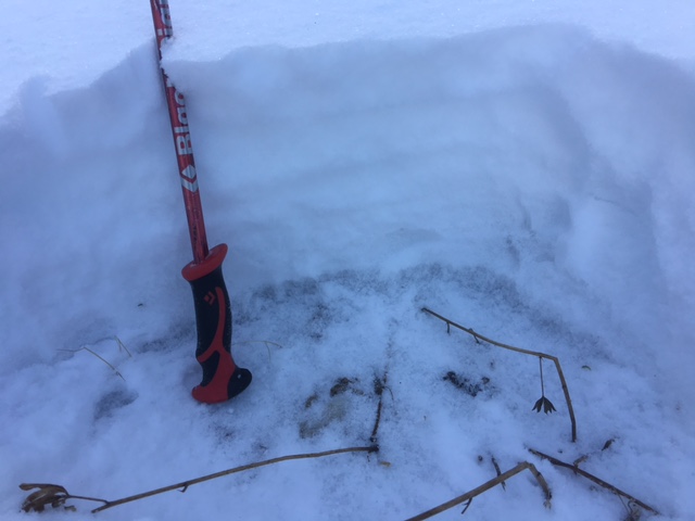
Moderate to strong winds scoured much of the upper elevation southwesterly and even some northerly starting zones. See pics below. Was able to trigger a hard slab 8" deep and 60' wide on a test slope in the unopened Alta/Supreme area. Northeast facing at 10,300' northeast. The hard slab wasn't able to buckle out of the stauchwall and so it stayed put. Of interest, the failure remained in the new snow and did not step down into the old facets.
These will be more stubborn tomorrow and buried by the new snow.
Video
Note the wind running from viewer's left to right in the quick vid. Scoured to loaded.
What will be tricky for Thursday is that some starting zones will be loaded, some will have been scoured. This obvious in the last two photos. And all of this will be under the new storm snow. It may be that there will be enough load in some high northerly terrain to step down to the old faceted snow near the ground. Pic below
Today's Observed Danger Rating
Moderate
Tomorrows Estimated Danger Rating
Moderate