Observation Date
11/22/2016
Observer Name
mark white
Region
Salt Lake » Little Cottonwood Canyon » Alta Periphery
Location Name or Route
Alta periphery
Comments
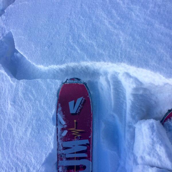
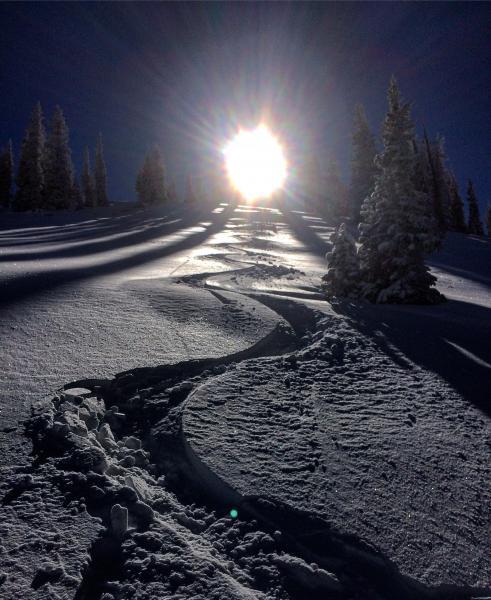
No real red flags today, seems to me there are only a few booby traps on high shady north that were already holding preexisting faceted snow plus add a wind slab on top. Rocks and stumps were the main hazard today. Still pretty thin out there.
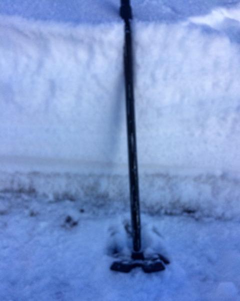
Photos: snow pit on high shady north with a few inches of faceted snow underlying the new snow, cracking in wind affected terrain, meadow skippin worked alright today. Sorry about the photo quality, a little blurry
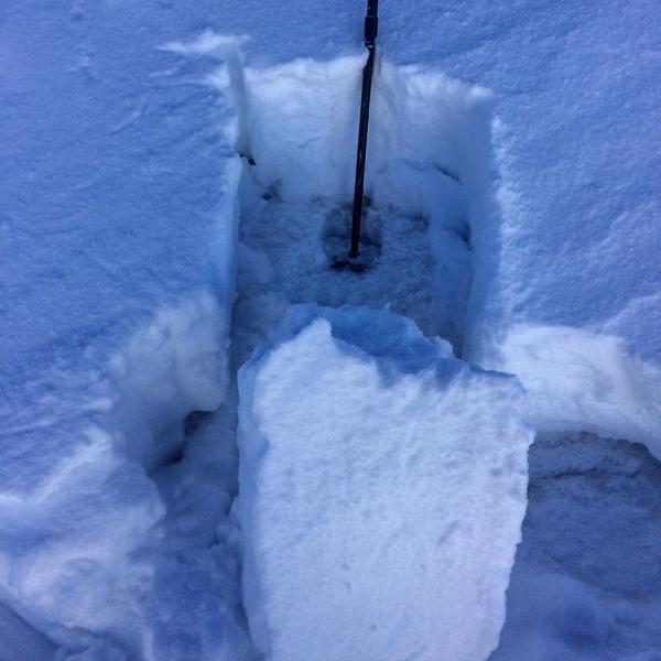
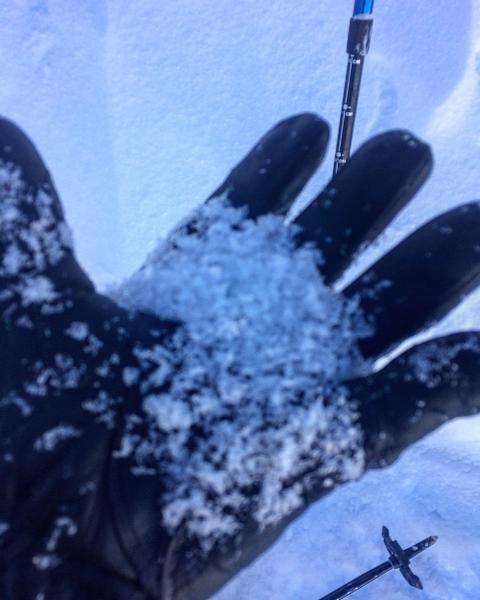
Moderate on the high north with depth hoar underlying the new snow, low everywhere else.
Today's Observed Danger Rating
Moderate
Tomorrows Estimated Danger Rating
Moderate


