Sign Up for the Utah Snow and Avalanche Workshop (USAW) on December 7th!

Observation: Pavant Range

Observation Date
11/17/2016
Observer Name
toddeo
Region
Southwest » Pahvant Range
Location Name or Route
Fillmore GC
Weather
Sky
Scattered
Precipitation
Moderate Snowfall
Wind Speed
Calm
Weather Comments
snow in the am some clearing in the pm.
Snow Characteristics
New Snow Depth
6"
New Snow Density
Medium
Snow Surface Conditions
Powder
Damp
Snow Characteristics Comments

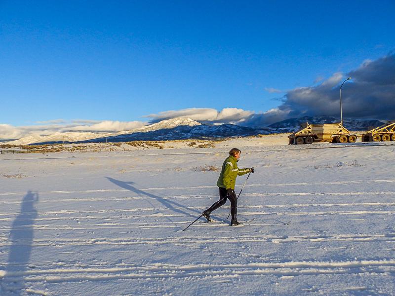
6" new settled to 4" by mid afternoon, Some graupel during instability showers late in the afternoon.

Red Flags
Red Flags
Poor Snowpack Structure
Red Flags Comments
Poor snowpack structure as in not enough on a damp base.
Avalanche Problem #1
Problem
Normal Caution
Problem #1 Comments

Normal caution when skiing a golf course, watch out for hitting a golf ball or getting hit by a golf ball.

Snow Profile
Aspect
South
Elevation
5,100'
Slope Angle
Comments

Snow profile photo shows a solid base of Fescue and Kentucky Bluegrass.

Some aspects will have a crust in the morning.

Pine Creek Snotel shows 14" at 9000'

10" at Bobs Hollow Snotel at 9000'

Today's Observed Danger Rating
None
Tomorrows Estimated Danger Rating
None
Coordinates