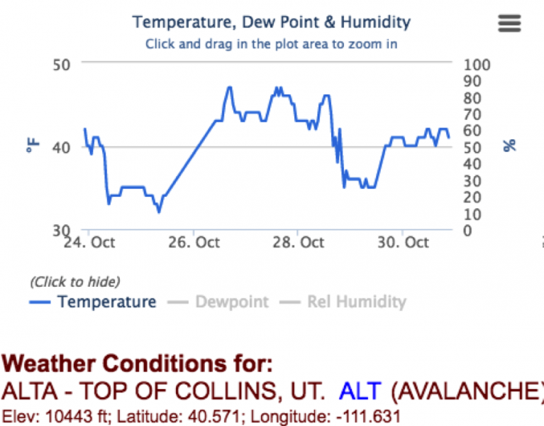
There is just enough snow remaining on the high, northerly facing slopes that I was curious to see what the snow was like before a series of small, but cooler storms start to impact the area. I assumed with all the wind and warm temperatures that not only was the snow coverage shrinking, but also the snow should be warm, melt freeze crystals, not facets. The 7- day temperature graph below from Alta Collins, 10,500', shows above freezing temperatures day and night almost continuously for the past week.
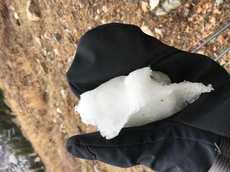
And sure enough, any snow that I saw up to 11,000' on Sugarloaf Sunday, October 30th, was wet, maybe even rain saturated. Hopefully, this is representative of even the higher elevations.
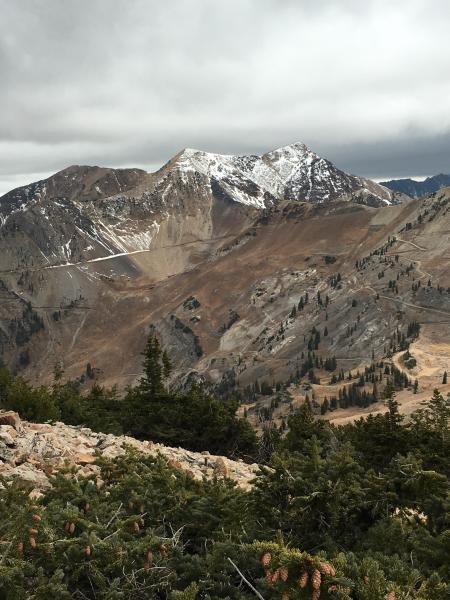
While it's hard to deal with the lack of snow and above average temperatures at the end of October bare ground and only patchy damp snow isn't a bad base to have once it starts to snow.