Observation Date
4/30/2016
Observer Name
Ted Scroggin
Region
Uintas » Bear River Ranger District » Gold Hill
Location Name or Route
Gold Hill Basin
Comments
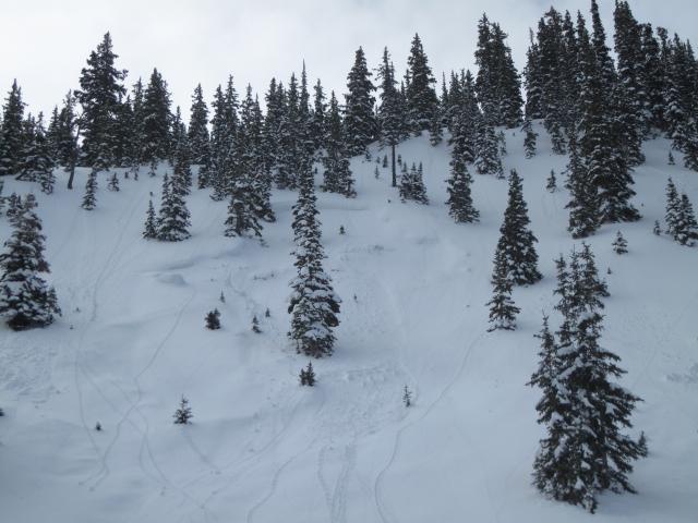
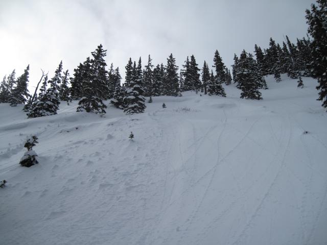
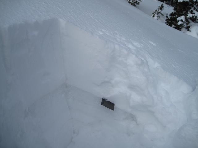
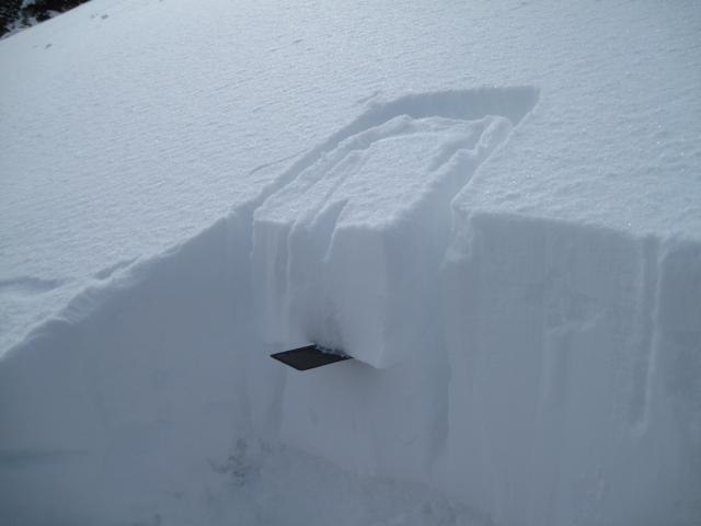
I stumbled on this very small natural avalanche in Gold Hill that likely happened during the stormy period. This is a repeater slide, back on 2/21 a larger pocket was triggered by a sledder on this northeast aspect. This area has stayed shallow and still had dry weak snow when I looked at it today. My guess is heavy wet dense snow from this past week overloaded the shallow weak snow and triggered this slide? Quite possible there are a few areas that still have this shallow weak snow, but not a real high probability.
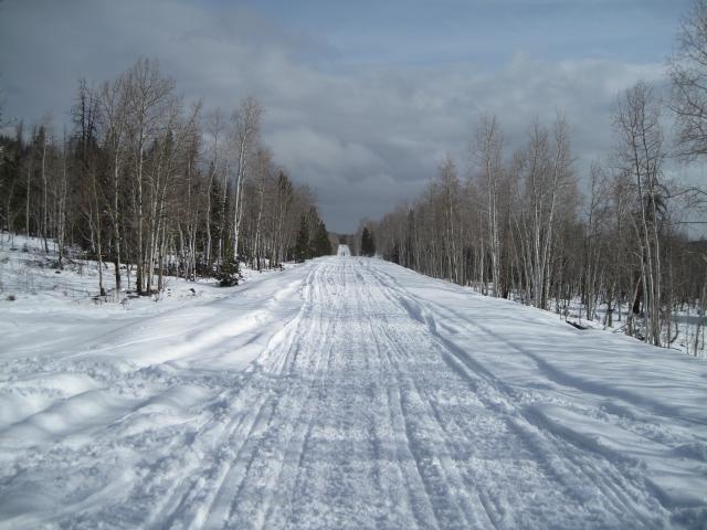
This is the Hwy at the Gold Hill road junction, last week you could drive a vehicle this far, but the storm put down close to two feet and its back to winter.
Cool and clear early this morning and the riding was fast and fun on a very supportable melt freeze crust.
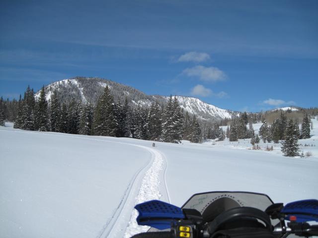
Somewhere around two feet of new snow has fallen this past week and has settled out to a foot and a half in the Gold Hill area. A few different layers of changing densities and snow types and the new snow is bonding well to the old wet snow surface.
Today's Observed Danger Rating
Low
Tomorrows Estimated Danger Rating
Low


