Observation Date
4/28/2016
Observer Name
Chester
Region
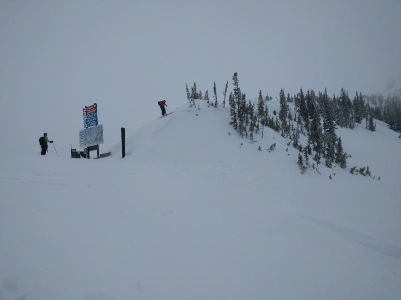
Salt Lake » Little Cottonwood Canyon » Alta Ski Area » Upper Collins area
Location Name or Route
Alta, collins
Weather
Sky
Overcast
Precipitation
Light Snowfall
Wind Direction
Northeast
Wind Speed
Moderate
Weather Comments
Cloud cover solid while we were there 9-2 and light snow, still enough heat to trigger rollerballs and snow snails @ 1 pm below 9600' snow being transported on ridges.
Snow Characteristics
New Snow Depth
6"
New Snow Density
Medium
Snow Surface Conditions
Powder
Wind Crust
Snow Characteristics Comments
Very High quality turns above 9600. Creamy below. Hand pit Dug, weakest layer 4" down, pole probing there are several obvious hardness changes, pole goes in over 2', things r getting complicated.
Red Flags
Red Flags
Recent Avalanches
Wind Loading
Cracking
Collapsing
Rapid Warming
Avalanche Problem #1
Problem
Wind Drifted Snow
Trend
Increasing Danger
Problem #1 Comments
We were able to trigger 4 small windslabs on a NW facing ridge top of coolins chair 10400' 37 degrees or steeper.. One ran 200'. Ran on a hard bed (guessing suncrust without the sun heatcrust?) All 12"-16" ish deep, still actively loading at noon. Manageable depending...guessing will be an issue for tomm.
Avalanche Problem #2
Problem
Wet Snow
Trend
Increasing Danger
Problem #2 Comments
Our party triggered on on our exit 1:20. Wnw facing 9400' First person dropped, kicked off first snowsnail of the day which i did not expect, as was still snowing and no sun. but no slide. Second person dropped- slightly steeper, 35 degrees/ loose wet broke 50' wide ran 140', guessing 4" deep. Skier easily outran.
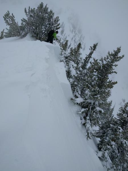
Wind slab test slopes top of collins
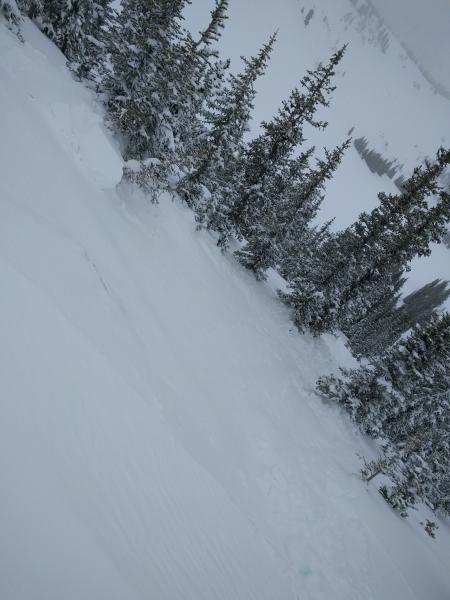
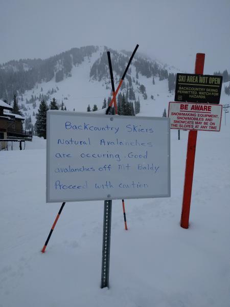
If Seeing avalanches similar to the one you are going to ride on isn't enough... Here is your sign.
Today's Observed Danger Rating
Considerable
Tomorrows Estimated Danger Rating
Considerable