Check Out Our Holiday Auction!

Observation: Whitney Basin

Observation Date
4/24/2016
Observer Name
Ted Scroggin
Region
Uintas » Bear River Ranger District » Whitney Basin
Location Name or Route
Whitney Basin
Weather
Sky
Broken
Wind Direction
South
Wind Speed
Light
Weather Comments
The morning started out with mostly cloudy skies, light snowfall with no real accumulation, while the afternoon was broken sky with quick periods of sunshine.
Snow Characteristics
New Snow Depth
5"
New Snow Density
High
Snow Surface Conditions
Powder
Melt-Freeze Crust
Damp
Snow Characteristics Comments
Just an inch or two of new snow down near the highway, while in the Whitney Basin 4-5" of medium to heavy dense snow fell with the recent storm.
Red Flags
Red Flags
Wind Loading
Rapid Warming
Red Flags Comments
Some wind drifting on the north through northeast facing slopes, but these seemed pretty well settled out while we were up along the ridge lines in the afternoon. The new snow quickly took on the heat even with mostly cloudy skies, but just enough filtered sunshine to trigger some wet loose slides that only involved the new snow on north aspects.
Avalanche Problem #1
Problem
Wet Snow
Trend
Same
Problem #1 Comments
Once the new snow heated-up today and a person did a small slope cut on a steeper slope, wet loose sluffs quickly got out of hand. These wet sluffs were sliding on the old melt freeze crust under the new snow. Some of these had decent debris piles and could tumble a rider.
Comments
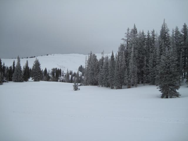
Most of the day was cloudy and cool with frosty trees and low clouds, but by mid afternoon some sunshine filtered through.
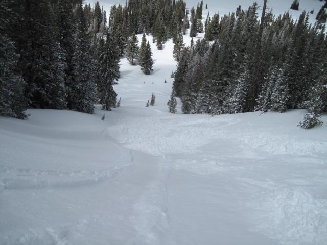
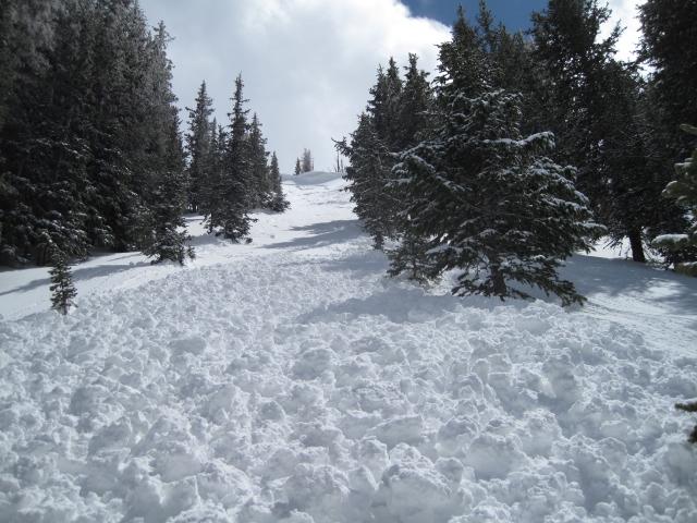
Once triggered these wet sluffs could get a little out of hand, sliding on the old melt freeze crust and piling up some heavy wet snow.
Today's Observed Danger Rating
Moderate
Tomorrows Estimated Danger Rating
Moderate