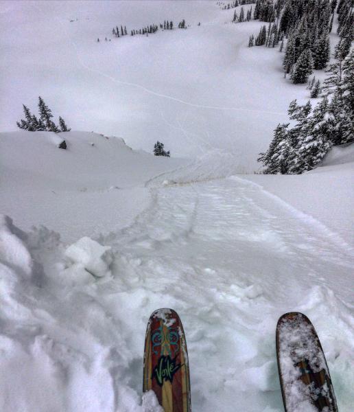
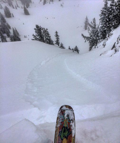
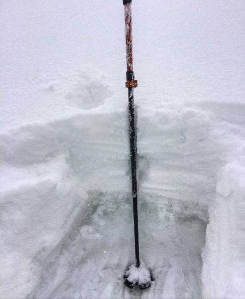
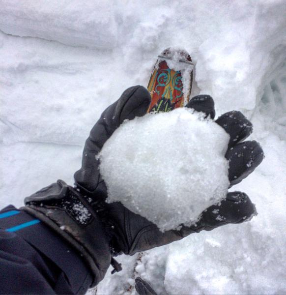
Travel today was from the Alta Guard station up over Cardiff peak with entry into Cardiff via the Keyhole N facing, then on to Ivory Flakes and High Ivory with a exit out of BCC. The only real activity noted was sluffing of the lighter density snow on yesterdays denser snow in steeper terrain, these sluffs were quite predictable and not packing much of a punch, only taking the top 4 inches or so with them. We were also able to cut out wet sluffs on steeper S-SE facing terrain that would run on the old melt-freeze crust. The most important thing was that the old snow from before the storm was not frozen or had a weak shallow refreeze. Everywhere I probed the snow I could shove my pole, basket end down about 18 inches, a quick hand pit on Cardiac Ridge revealed the new snow was sitting on a non frozen saturated isothermal snow pack. When I dug down to the wet snow I could squeeze free water out of the snowball in my hand. Seems like its gonna take a while for things to freeze up again the new dense snow was acting like insulating layer keeping the old snow from freezing. Localized collapsing was common and some times the snow was unsupportable especially around rocks and vegetation.
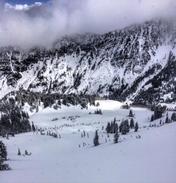
Photos: sluffing of the lighter density snow, hand pit and saturated snowball, clouds causing green housing in the afternoon.
Wet slabs are a tricky deal, hard to predict, not really sure about the probability of triggering one in the BC, but it seems reasonable to give them respect and keep them in your mind set also think if the sun comes out there will be wet activity running on the old damp base.


