Observation Date
4/12/2016
Observer Name
Ted Scroggin
Region
Uintas » Bear River Ranger District » Whitney Basin
Location Name or Route
Whitney Basin
Weather
Sky
Scattered
Wind Speed
Calm
Weather Comments
Just a minor surface refreeze last night and it did not take long for the snow surface to soften and get unsupportable around trees and rocks. Mostly partly cloudy skies, calm winds and very warm temperatures even at 10,000'. A few more clouds moved in late afternoon and possibly some weather this evening?
Snow Characteristics
Snow Surface Conditions
Melt-Freeze Crust
Damp
Snow Characteristics Comments
With a few consecutive nights without a good refreeze the snow conditions today were soft and somewhat unsupportable in the lower elevations, but in the higher terrain around the Whitney Basin travel on a sled was okay if you watched your slope aspect. Anything south facing was punchy early in the day. North facing slopes were soft, but supportable and had the best riding today.
Red Flags
Red Flags
Rapid Warming
Red Flags Comments
Another very warm day in the backcountry and the usual concerns of loose wet slides were the main issue. I observed mostly minor roller balls and a few small wet sluffs, although over on Moffit Peak on the north side, a few larger wet sluffs that started near steep rocky terrain had some good debris piles.
Avalanche Problem #1
Problem
Wet Snow
Trend
Same
Problem #1 Comments
Normal spring concerns as the snow surface becomes wet and unsupportable, it's time to move to another colder aspect. Don't over stay your welcome with this weather pattern and plan your return trip where you are not forced to ride out on wet unsupportable snow.
Comments
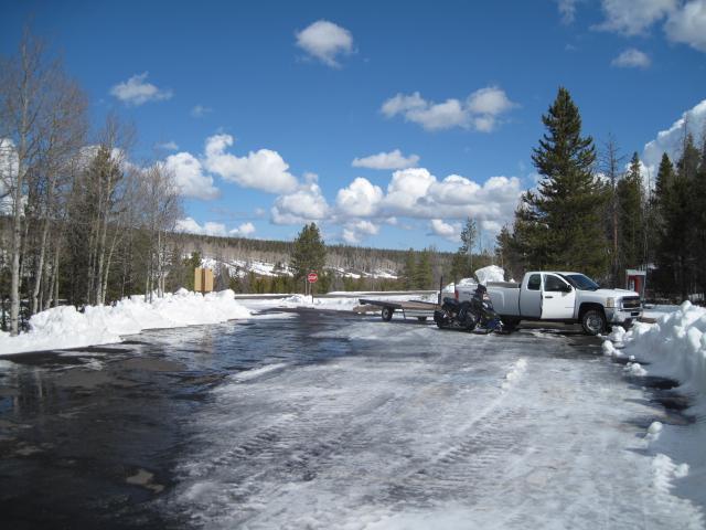
1. The gate on Hwy 150 opened today and there is parking at the ranger station.
2. Not a lot of snow on the hwy, this photo is just below the Whitney turn-off this morning.
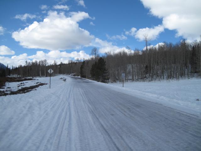
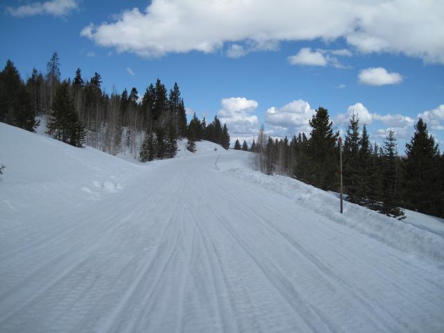
The coverage on the Whitney road is still good a few miles in.
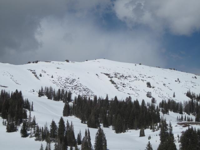
The south facing slopes are looking a little thin right now in the Whitney Basin.
Today's Observed Danger Rating
Low
Tomorrows Estimated Danger Rating
Low