Sign Up for the Utah Snow and Avalanche Workshop (USAW) on December 7th!

Observation: Pavant Range

Observation Date
3/30/2016
Observer Name
Toddeo
Region
Southwest » Pahvant Range
Location Name or Route
Maple Hollow
Weather
Sky
Broken
Wind Speed
Light
Weather Comments
warm day, light breeze helped presrve snow on north aspects.
Snow Characteristics
New Snow Depth
8"
New Snow Density
Medium
Snow Surface Conditions
Powder
Wind Crust
Damp
Snow Characteristics Comments

HST is 8-9" settled at 9000'. west aspects below 7400' or so were damp/wet. north facing aspects below 7500 had a slight crust this afternoon. some wind exposed areas were scoured to an underlaying crust.

Red Flags
Red Flags
Wind Loading
Cracking
Red Flags Comments
yesterady's wind slabs have settled out a bit and were less sensitive today. some localized cracking in areas with wind slabs. cornices were still sensitive. wind slabs were settled out enough to allow me to skin and ski steeper slopes than yesterday.
Avalanche Problem #1
Problem
Wet Snow
Trend
Increasing Danger
Problem #1 Comments

I think with increasing temps wet slabs will be my primary concern tomorrow.

moderate hazard in sun exposed areas, north aspects still have not received much sun/heat and will still be sensitive to heating.

Avalanche Problem #2
Problem
Wind Drifted Snow
Trend
Same
Problem #2 Comments

moderate hazard, the warm temps today have reduced the hazard from what i saw yesterday/

Comments

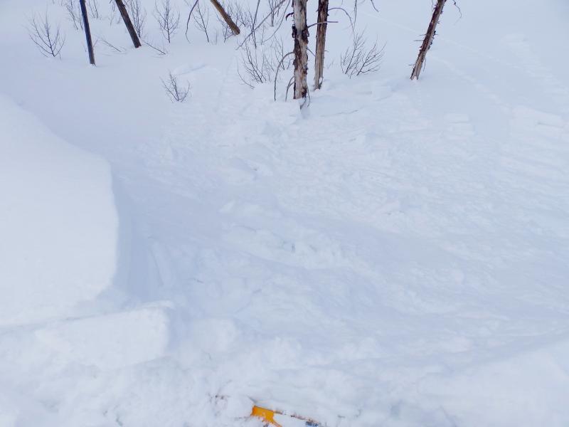
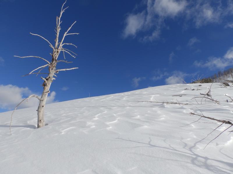
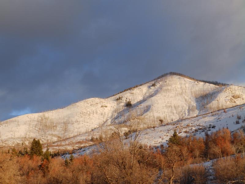
photos: cornices still breaking easy, wind affected ridgeline and terrain skied today (left skyline just out of view) a similar burn

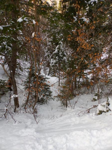
photo below: an easy Pahvant exit, limited barb wire!

Today's Observed Danger Rating
Moderate
Tomorrows Estimated Danger Rating
Moderate