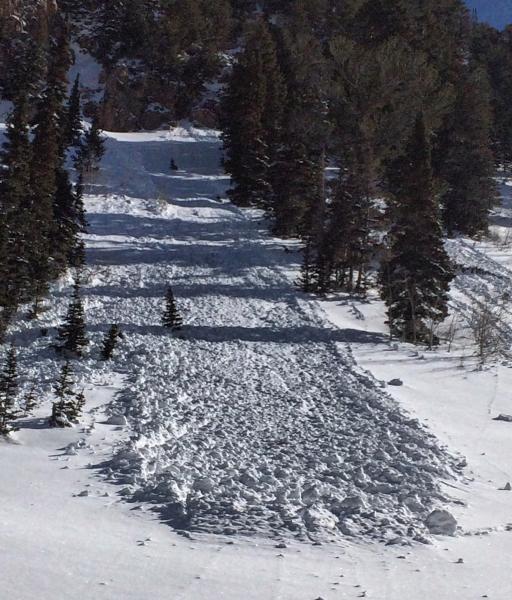
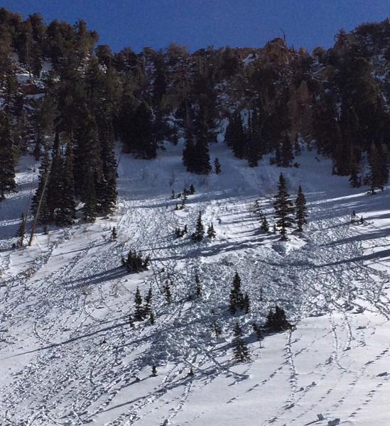
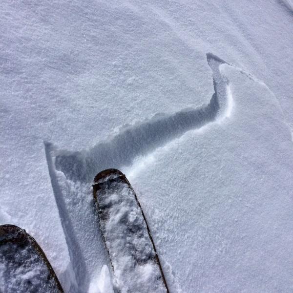
Headed up Red pine in search of soft dry snow, found a little of that and allot of variable snow conditions. Seemed like wind protected NW was holding the most consistent snow, in the high wind exposed terrain such as White Baldy the snow was variable, going from one soft turn in powder to skiddering across wind slab or wind crust on the next turn. There was a little damp activity in the 3 new inches of snow on the E facing but it was kept in check by the afternoon clouds. I also noted thin wind slabs or wind crust breaking out on faceted snow from earlier this week but they were scattered and not well connected, and am not expecting them to be much of a player when we get a new load on top. There was evidence of some major wet activity on W facing that must have occurred on Thursday afternoon but it seemed all locked up today.
Photos: wet activity from thursday afternoon, thin wind slabs cracking out on the high N facing of White Baldy, clouds building in the afternoon with the cloud deck dropping down to the high peaks.