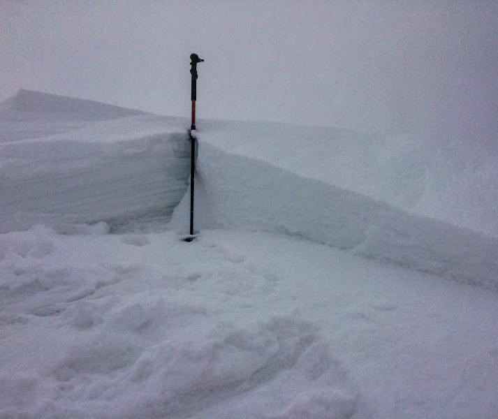
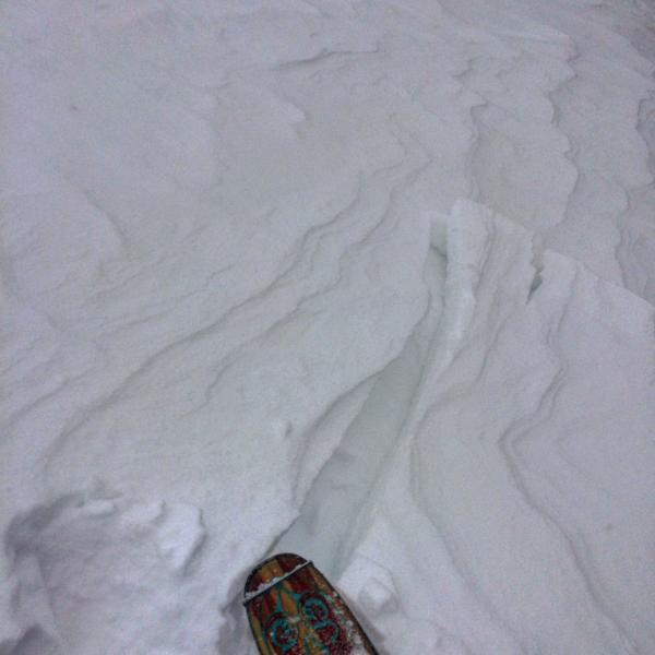
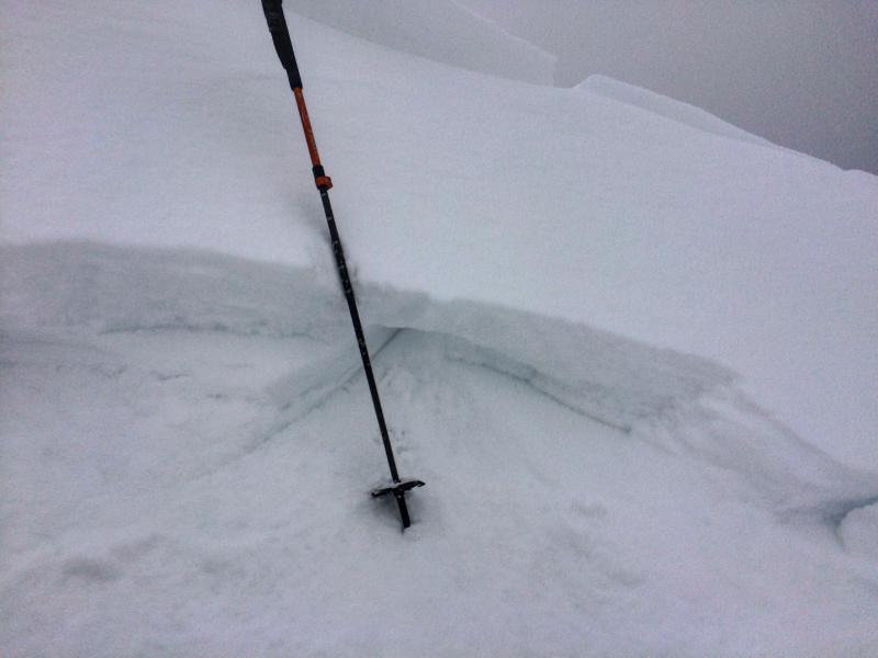
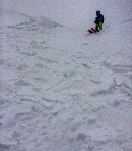
Took a trip up Cardiff Bowl today to see how the new snow was bonding to the old melt freeze crust, seemed fairly well bonded in the non wind affected terrain, it would sluff but the sluffing was limited to the top couple inches of new snow. Once I was up on the ridge line where cornices were forming and calving of naturally and the new snow was loading and some what slabbed up by the wind, the new snow would crack out in chunks of slab and run on the old melt-freeze crust. I was able to remotely trigger cornices from a distance and when they hit the slope they would propagate out through the wind affected snow and run into lower angle terrain. Probably not a big deal unless you were in unforgiving steep terrain like the south face of Superior. I would think these wind slabs will settle out quickly a not be a major player unless we get a decent amount of new snow with increasing wind speeds. I have a feeling that when the sun hits the new snow it's going to want to slide on the old slick bed surface with a little prodding and might end up entraining quite a bit of snow in steeper terrain.
Photos: wind slabs on the the ridge lines easily triggered from a distance. sorry about photo quality, between bad light and using a phone camera its the best I could do.

Hazard depends on new snow amounts and wind transport.


