Observation Date
3/16/2016
Observer Name
Meisenheimer
Region
Salt Lake » Little Cottonwood Canyon » Hogum
Location Name or Route
Hogum
Weather
Wind Direction
Northwest
Wind Speed
Moderate
Weather Comments
Wind was raging at higher elevations till 2pm, then died off. Storm cleared out around 2pm followed by sunshine for the rest of the day.
Snow Characteristics
New Snow Depth
15"
New Snow Density
Low
Snow Surface Conditions
Powder
Dense Loose
Faceted Loose
Wind Crust
Melt-Freeze Crust
Snow Characteristics Comments
Upper elevation alpine terrain got hit hard by the northwest winds. Mid to upper elevation north facing slopes are the best bet for powder skiing.
Red Flags
Red Flags
Recent Avalanches
Heavy Snowfall
Wind Loading
Cracking
Rapid Warming
Avalanche Problem #1
Problem
Wind Drifted Snow
Trend
Decreasing Danger
Problem #1 Comments
Evelyn nailed the forecast today by calling the 11,000' elevations considerable. Heavy wind loading on the east aspects especially off Thunder Ridge. I would continue avoiding these drifts for at least another day. Most upper elevation slopes in the alpine had wind damage.
Two concerns for tomorrow. First, is the recently formed wind slabs at upper elevation slopes facing mainly north through southeast. The second concern will be heat related avalanche problems as the strong March sun comes out tomorrow.
Comments
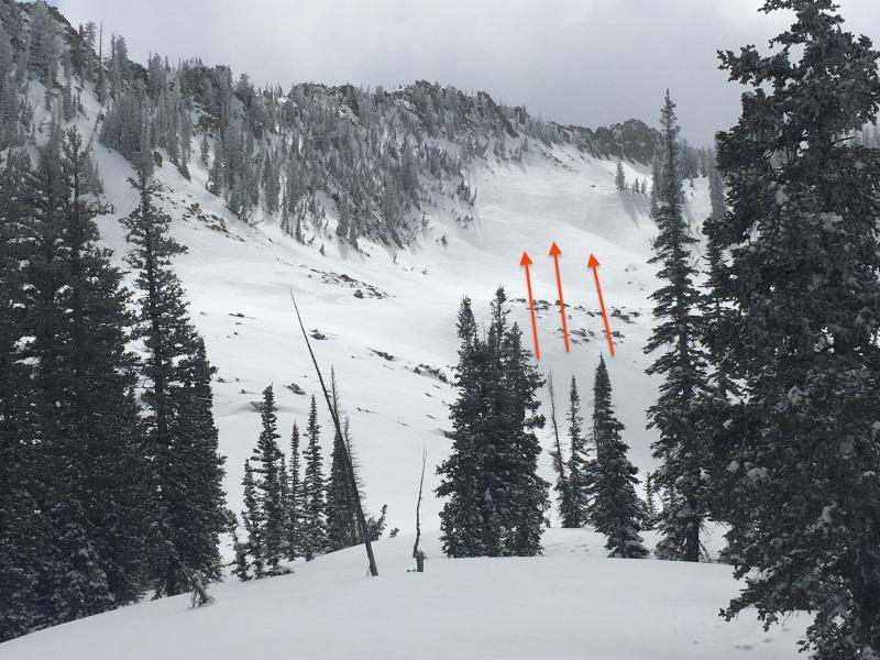
Up slope winds in Maybird
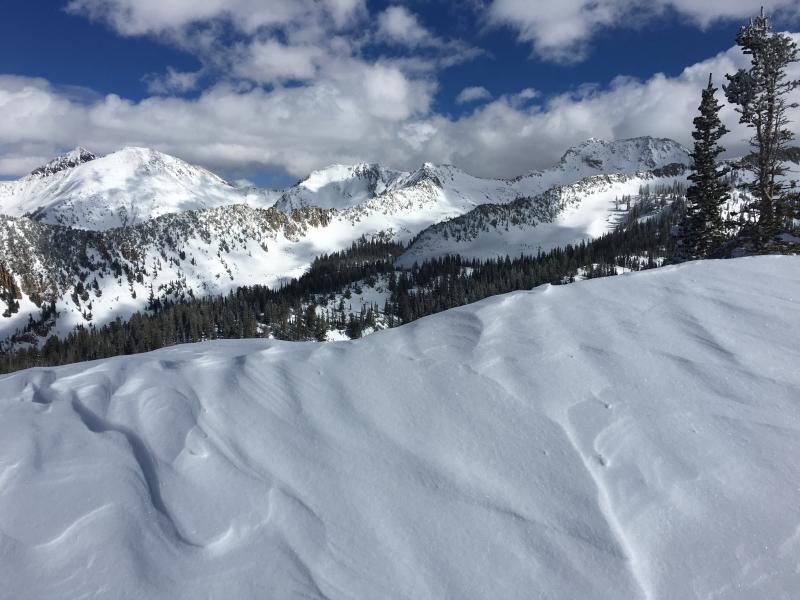
Looking back towards Snowbird
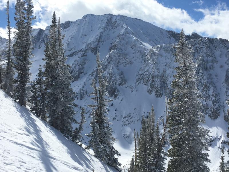
Looking at the Needle and Coal Pit headwall - Lots of wind damage up high.
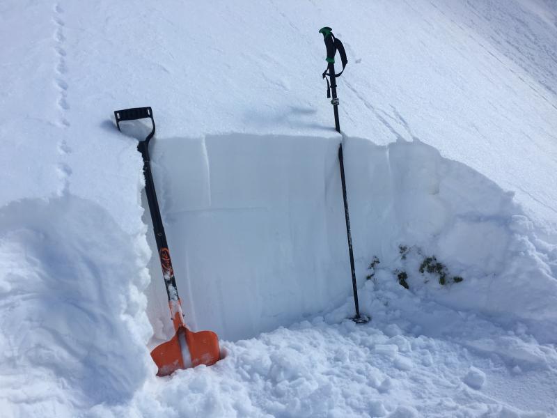
Northwest facing slope around 10,000' in elevation. I did find small grain faceted snow about 12-15" down. I drew a line in the snow to show this. ECTX (no propagation) Fist snow on fist facets.
Today's Observed Danger Rating
Considerable
Tomorrows Estimated Danger Rating
Moderate