Observation: Whitney Basin

Observation Date
3/4/2016
Observer Name
Ted Scroggin
Region
Uintas » Bear River Ranger District » Whitney Basin
Location Name or Route
Whitney Basin
Weather
Sky
Few
Wind Direction
Southwest
Wind Speed
Calm
Weather Comments
A few clouds this morning and mostly sunny in the afternoon. Hardly a breeze on the ridge tops and quite warm temperatures.
Snow Characteristics
Snow Surface Conditions
Wind Crust
Melt-Freeze Crust
Damp
Snow Characteristics Comments
Just barely a refreeze overnight and the trail conditions quickly softened on the ride out from the trailhead. The south facing slopes had some mostly supportable snow till about mid-morning when the heat came on. While on the north side of the compass, cold dry snow is still around, but getting a little harder to find where the wind didn't get to it.
Red Flags
Red Flags
Rapid Warming
Red Flags Comments
I did not observe any heat related issues in my travels, but would imagine with the warm temps loose wet activity is possible.
Avalanche Problem #1
Problem
Wet Snow
Trend
Increasing Danger
Problem #1 Comments
With another day of very warm weather tomorrow more of the south facing slopes may see wet loose activity.
Avalanche Problem #2
Problem
Persistent Weak Layer
Trend
Same
Problem #2 Comments
Still can't forget the possibility of a slide that breaks into older weaker snow in the shallow steep terrain.
Comments
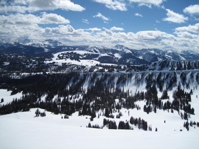
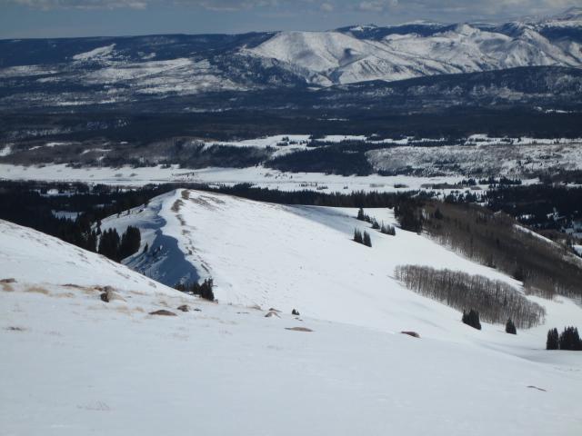
1. Looking across the Whitney Basin, the north facing slopes look real good for snow coverage, but the south side of the compass is starting to get a little thin in areas.
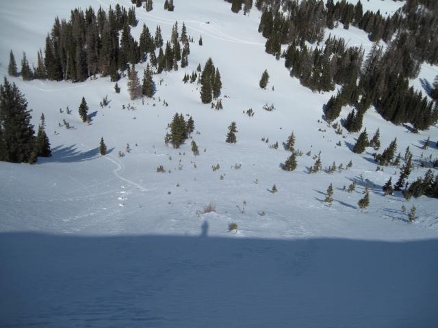
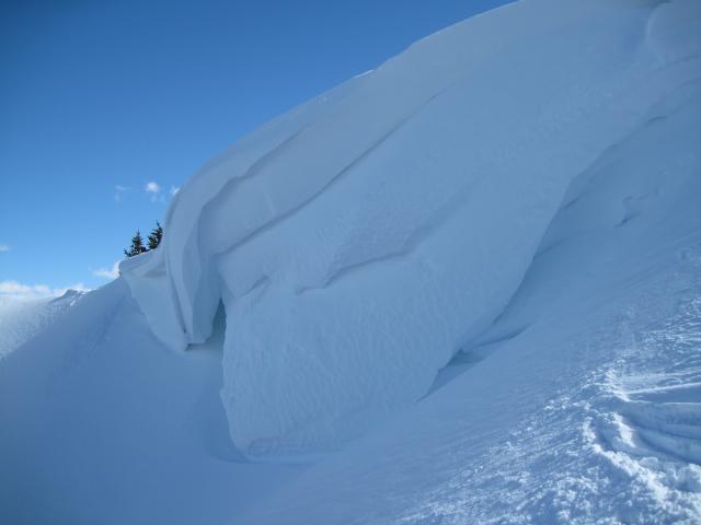
1. Looking down this steep north facing slope with bushes sticking out is the type of terrain where a person might still trigger a persistent slab avalanche. The snowpack has stayed thin and weak all winter long here and never gained much strength. 2. You don't want to camp out under one of these monster cornices as they begin to feel the heat and weight of all that wind blown snow.
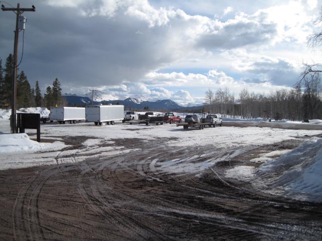
It's too early to begin mud season and lets hope this weekend's storm turns things around back to winter.
Today's Observed Danger Rating
Low
Tomorrows Estimated Danger Rating
Low