Observation: Back of Bobs

Observation Date
2/20/2016
Observer Name
Wilson, Gagne, Covington
Region
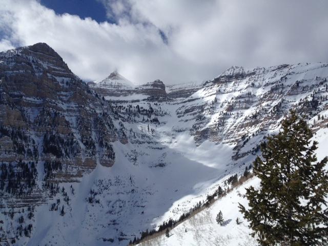
Provo » Provo Canyon » Timpanogos » Back of Bob's
Location Name or Route
Bob's Knob and vicinity
Weather
Sky
Scattered
Wind Direction
West
Wind Speed
Calm
Weather Comments
Temps stayed warm the night before our tour, skimming the freezing line in several Southern Wasatch weather stations. Snow surface must have lost enough heat despite some overnight cloudcover for a superficial refreeze on wet, low elevation south. Winds calm, clouds clearing through the morning.
Snow Characteristics
Snow Surface Conditions
Dense Loose
Wind Crust
Melt-Freeze Crust
Damp
Snow Characteristics Comments

The nicest skiing was on mid and low elevation south at midday, where at 1:30 pm buttery corn-over-crust was just beginning to give way to buttery grits. North quarter of the compass held dense loose snow, with wind affect ranging from thin skin to 5 cm.

Avalanche Problem #1
Problem
Wind Drifted Snow
Trend
Decreasing Danger
Problem #1 Comments

Disclaimer: we didn't skin to ridgelines where drifts and pillows were likely.

On our low-to-mid elevation route wind had affected skiing on shaded aspects, but short steepish N and NE test slopes were unreactive and there was little to suggest wind slab hazard. Quick handpits revealed some crusts, graupel, and lowdensity layers near the surface but nothing that sheared easily or with smooth planes. Unlike yesterday's tour in Broadsfork, the slopes of Provo weren't adorned with shallow crowns from natural wind slab activity. In short, it would take some cleverness and persistence to find the sensitive wind slab in our area.

Avalanche Problem #2
Problem
Wet Snow
Trend
Same
Problem #2 Comments

Wet loose avalanching really wasn't noted despite poor refreeze, warm temps, and calm winds. Perhaps south east through west slopes have seen enough previous warming to be less affected by these conditions than a colder winter snowpack would be? Quick pit on South 7800' revealed isothermal snowpack (not true of North facing 8000), while lower solar aspects have melted off entirely in many places. The last week has ushered brown back into a previously white landscape.

Comments

Hazard on our (albeit low elevation) tour felt low; it was the kind of weather and stability that turn a persons attention to well-filled aprons of aesthetic avalanche paths off Elk Point, and toward an approaching March and the higher snowfields of Timp...

Danger rating applies to mid/low elevation only

Today's Observed Danger Rating
Low
Tomorrows Estimated Danger Rating
Low