Observation Date
2/19/2016
Observer Name
Hardesty, Wilson, Keeling, Simper
Region
Salt Lake » Big Cottonwood Canyon » Broads Fork
Location Name or Route
Broads Fork
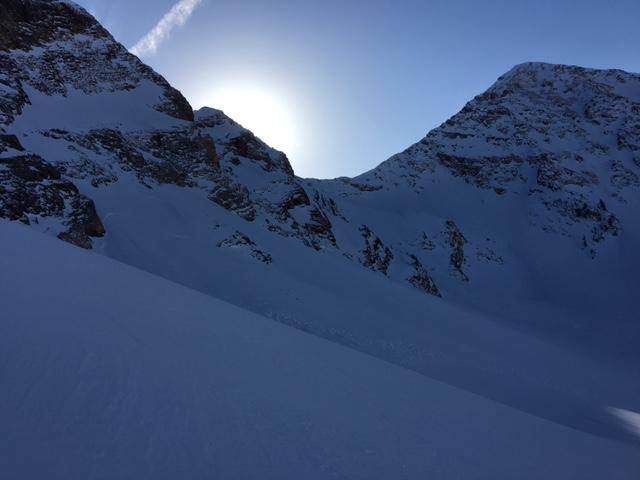
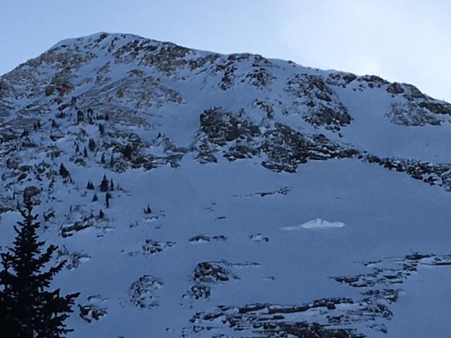
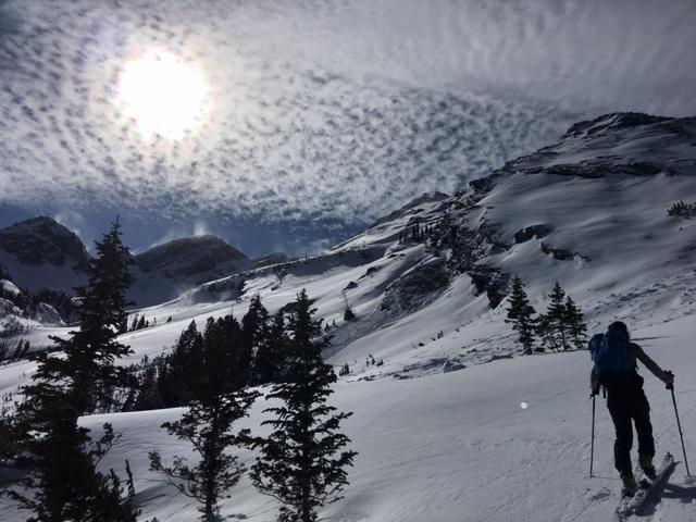
Comments
1st video -Note free air winds channeled by terrain and blowing back up slope t 9800' north facing below Dromedary.
2nd video - composite
Pics:
- Thursday's wind event
- natural wind slabs from Thursday
- PST 50/100 x2 down 60cm onto faceted snow 30cm up from ground. NNW 9800'
- High above Blue Ice - you can see the slightest glide crack up high and more prominent buckled stauchwall below.
- Cool alto-cumulus I believe


Video
Video
Today's Observed Danger Rating
Moderate
Tomorrows Estimated Danger Rating
Moderate


