For some strange reason I decided it would be a good idea to head up Willow and see what the strong S-SW winds were doing up high on the PC Ridgeline, was curious if it was transporting any snow on the N side of the ridge line. I was chatting with Drew Hardesty while gearing up in my car, told him it was raining steadily in the upper Solitude parking lot and all the lifts were shut down, he said the cold front was getting close. I walked through a lake of ankle deep slush getting to the Willow Hieghts trailhead. The trail was strewn with small downed trees and broken limbs but the wind wasn't super strong at that point. Once I got around the corner and into the conifers the wind was howling, there were lots of large down trees everywhere. Figured I'd high tail it through the trees and get up into the open where tree fall wouldn't be an issue. I was about two thirds of the way through the trees when I heard a loud crack and a tree about a foot in diameter fell across the trail. the cold front was in full force at this point and when I got to the opening in Willow the lightning and thunder and heavy graupel started, then I new I was screwed and I decided to turn around and bail as fast as possible, wouldn't have been able to see anything on the PC Ridgeline anyway. by the time I made it back to the car the graupel had changed over too snow completely, and the snow line had dropped to the valley floor. Only take aways I learned from the snow was that the first 4 inches were saturated to about 9,000ft and the pack was isothermal below 8,000ft, I would think bonding of the new snow would be good due to the damp nature of the surface but now there is a layer of graupel insolating the damp snow underneath.
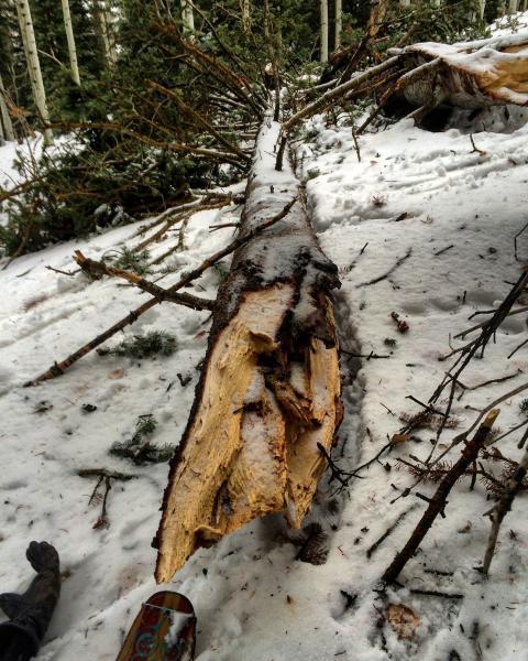
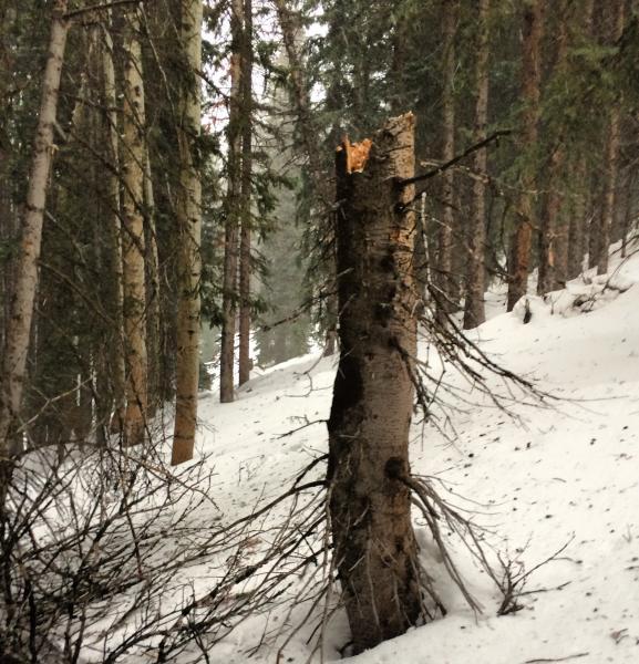
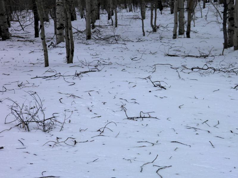
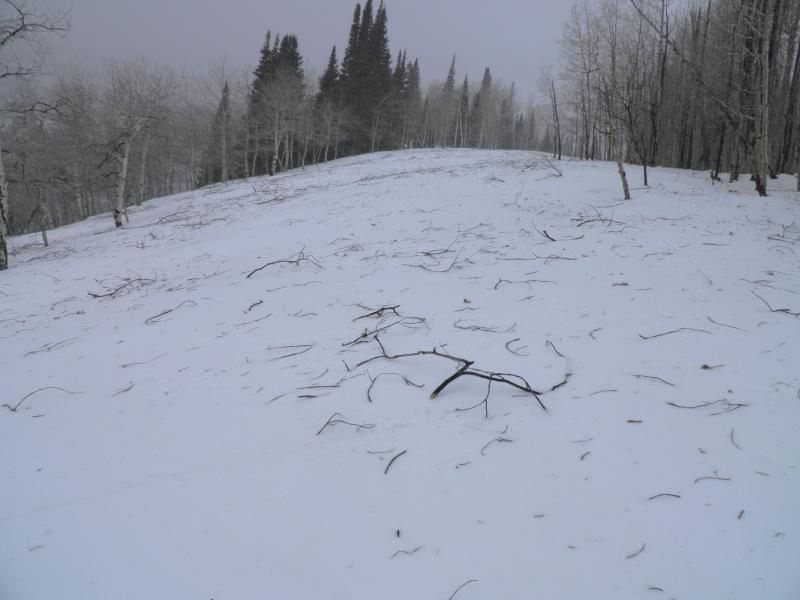
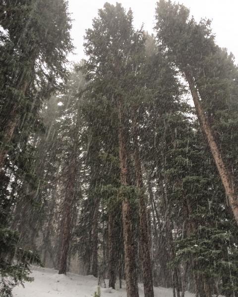
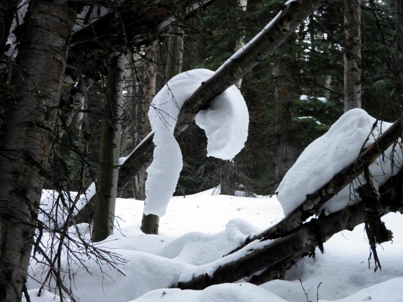
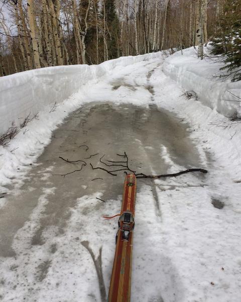
Photos: carnage from tree snapping winds from the S-SW, heard and saw the one in the first photo, a little too close for comfort, graupel with frontal passage, an interesting very elastic snow slab drooping from a tree, damp conditions down low
Hazard would depend on wind and new snow amounts, didn't get above 10,000ft so not really sure about the alpine, but would think with the cold temps the lower elevations will lock the snow pack up over night and be in the moderate category, with more wind and snow might put the upper elevations at considerable, if we don't receive much of a load moderate.


