
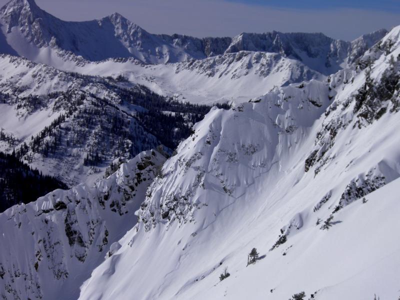
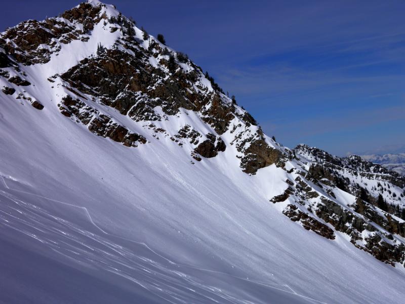
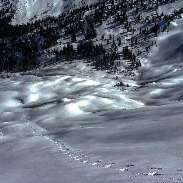
Travel today was up Pole Line Pass over Cardiff Peak with entry into Cardiff through the Keyhole, then on to Cardiac Ridge and Ivory. Noted some sizable slides on SE facing Superior on the way up not sure if they were naturals or control work by U-dot, most likely the latter. Figured NE-E was what got loaded the most with yesterdays winds and was curious how it was bonding, there was no evidence in the Cardiac area of any sort of avalanche activity or sluffing, couldn't even get any of the wind drifts to crack let alone move. Dug multiple hasty pits on the way up Cardiac Ridge and Hansens and they all failed upon isolation on facets buried by the new 8 inches of dense snow, these results kept us on somewhat high alert, but we did not have any cracking or collapsing either. I have seen storms like this that lay a dense coat of snow down then the wind whips it around all day and it kinda becomes plastered to the slopes and is not a hazard, I think if it was a bigger load things might have gotten a bit more hazardous. Ski penetration was only a few inches in the dense snow and there seemed to be quite a riming event yesterday because all the exposed rock faces were plastered with it.
Photos: slide on SE facing Superior, classic loading spot for W winds, minor wet activity on SE facing Cardiac Ridge, ski penetration on the least wind affected slope.
Going to stick with moderate tomorrow because of the forecasted heat wave.


