
Observation Date
2/5/2016
Observer Name
chesterfrantz
Region
Salt Lake » Big Cottonwood Canyon » Brighton Perimeter
Location Name or Route
Brighton Periphery
Comments
in the past week I have been found a couple small pockets of preserved surface hoar in the high 8000', (Kessler, porter fork) didn't find any today, may have been too high (elevation wise).
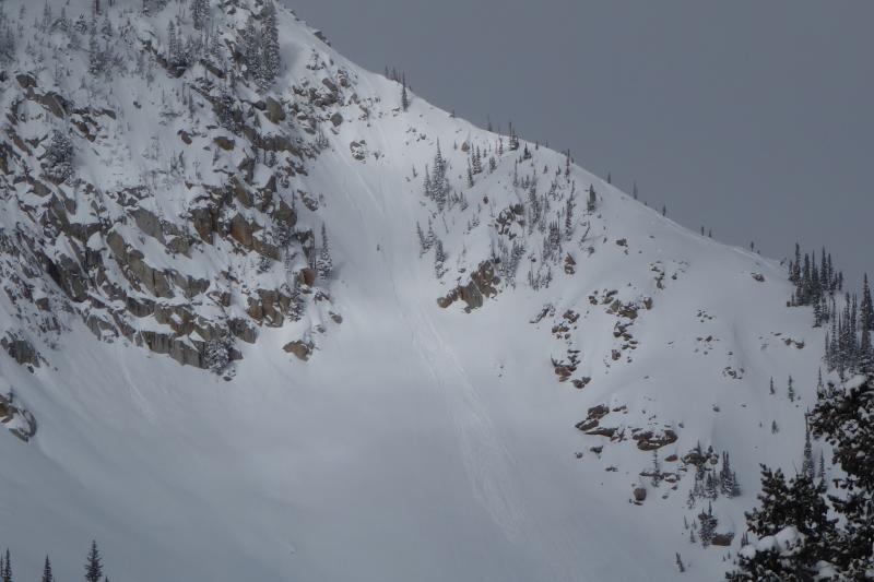
pic of rocky point, has been a repeater, hard to believe it broke 5' deep a month ago. I cant tell by looking anymore, m personnaly still avoiding anything that may have slid xmas cycle still, but pack has thickened considerably. looks like rocky point was tested a bit today.

milly east side that drops to lake mary. saw this one triggered by two skiing the ridge, loose snow, low speed, ankle deep, lacked punch.
Today's Observed Danger Rating
Moderate
Tomorrows Estimated Danger Rating
Moderate


